
Aniak Airport
 Aniak · Estados Unidos· Aniak Airport
Aniak Airport (IATA: ANI, OACI PANI) es un aeropuerto mediano que da servicio a Aniak, Estados Unidos.
Aniak Airport is a medium-sized airport, at an elevation of about 88 ft, with scheduled passenger service. This page gathers its location map, airport codes and travel information.
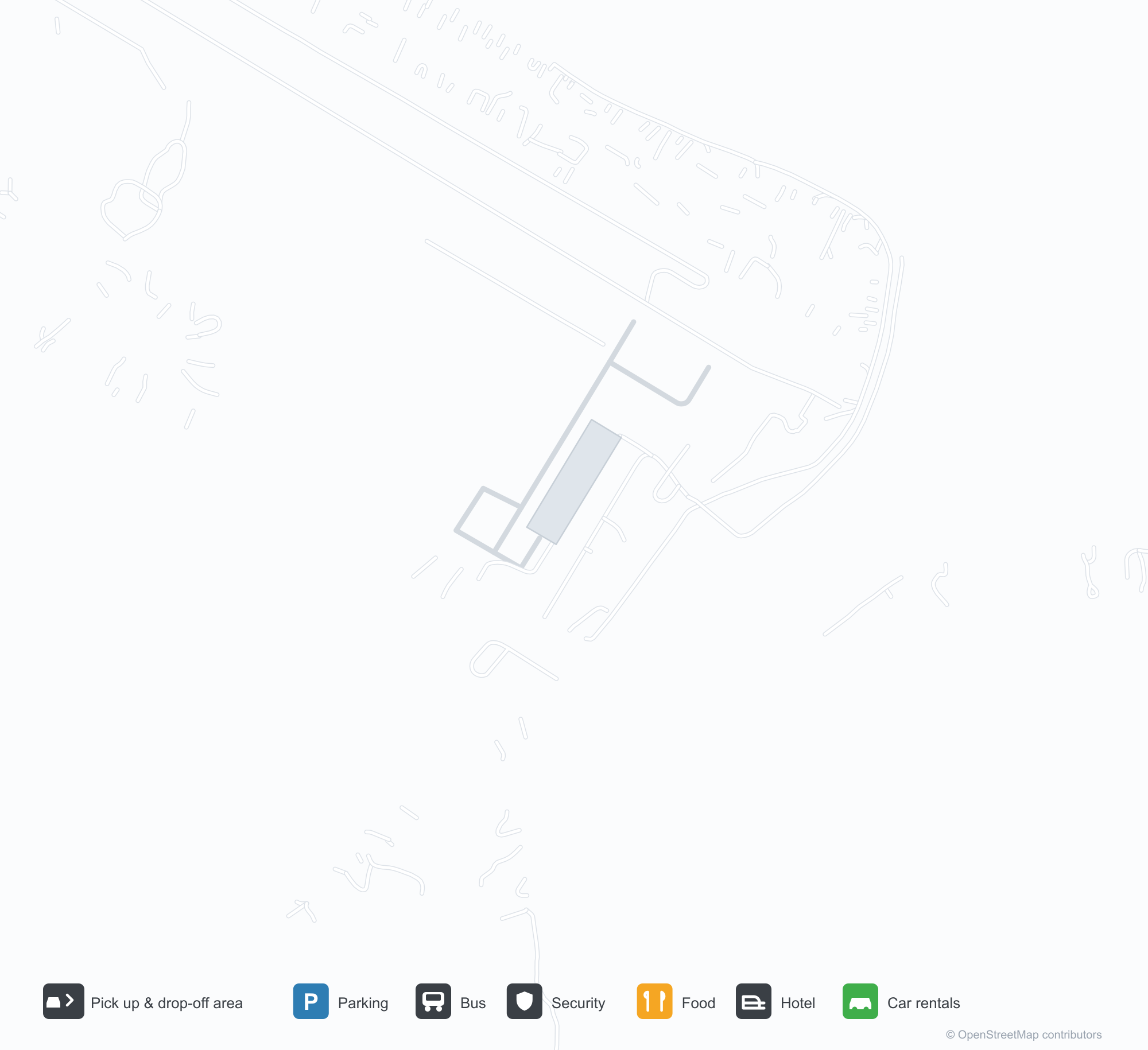
Descargar mapas de aeropuertosDescargas
Fotos del aeropuertoFotos del aeropuerto
Fotos reales de este aeropuerto, cada una con la referencia de la página web pública donde se encontró; los derechos de autor siguen siendo de los fotógrafos originales. Haz clic en una foto para ampliarla o en la línea de crédito para abrir su página de origen.
Vista satelital: la pista de Aniak corre junto al río Kuskokwim, con la terminal y la plataforma junto a ella y bosques y humedales alrededor.
En la vista satelital, una pista recta corre junto a un río ancho, con casas dispersas, carreteras y bosque denso a lo largo.
Un avión turbohélice está en la plataforma frente a edificios blancos bajos, con montañas boscosas difuminándose en la bruma detrás y una barcaza atada al muelle delante.
Una vista aérea invernal muestra la pista cubierta de nieve entre dos canales fluviales helados, con los tejados del pueblo brillando cálidos bajo el sol bajo.
Mapa de rutas de Aniak Airport — destinos directosMapa de rutas
3 destinos directos: mapa, aerolíneas que operan y distancias.
Vuelos de Aniak Airport — salidas y llegadasPanel de vuelos
46 números de vuelo de 3 aerolíneas y 13 destinos, divididos por dirección. Se incluyen los números de código compartido.
| Vuelo | Aerolínea | Destino | País/región |
|---|---|---|---|
| 6F222 | Fox Aircraft | Bethel Airport | Estados Unidos |
| 6F320 | Fox Aircraft | KLG | |
| 7S696 | Ryan Air Services | Bethel Airport | Estados Unidos |
| 7S901 | Ryan Air Services | Anchorage (ANC) Ted Stevens Anchorage International Airport | Estados Unidos |
| 7S902 | Ryan Air Services | Anchorage (ANC) Ted Stevens Anchorage International Airport | Estados Unidos |
| 7S910 | Ryan Air Services | Holy Cross (HCR) Holy Cross Airport | Estados Unidos |
| 7S920 | Ryan Air Services | KLG | |
| 7S930 | Ryan Air Services | CHU | |
| K21600 | Yute Commuter Services | Bethel Airport | Estados Unidos |
| K21602 | Yute Commuter Services | Bethel Airport | Estados Unidos |
| K21604 | Yute Commuter Services | Bethel Airport | Estados Unidos |
| K21606 | Yute Commuter Services | Bethel Airport | Estados Unidos |
| K21800 | Yute Commuter Services | RSH | |
| K21802 | Yute Commuter Services | Holy Cross (HCR) Holy Cross Airport | Estados Unidos |
| K21804 | Yute Commuter Services | Anvik Airport | Estados Unidos |
| K21806 | Yute Commuter Services | KGX | |
| K21808 | Yute Commuter Services | SHX | |
| K21810 | Yute Commuter Services | KLG | |
| K21900 | Yute Commuter Services | CHU | |
| K21902 | Yute Commuter Services | CKD |
Números de vuelo y rutas del índice de vuelos de aviability.com (instantánea de 26 de octubre de 2026); se incluyen los números de código compartido y no se muestran horarios de salida. Fuente: aviability.com ↗
Información y datos del aeropuertoDatos del aeropuerto
Mapa interactivo — ubicación de Aniak AirportMapa interactivo
Consulta este aeropuerto en otros servicios de mapas:
Aniak Airport (ANI): Three Routes on the Kuskokwim RiverGuía del aeropuerto
On satellite imagery, Aniak's runway runs along the Kuskokwim River, with the terminal and apron alongside it and woodland and wetlands around. The airport serves Aniak, Alaska, at an elevation of about 27 m, with a 1,890 m runway; the 2014 snapshot records three domestic destinations, from Holy Cross at 69 km to Anchorage at 510 km.
Satellite view
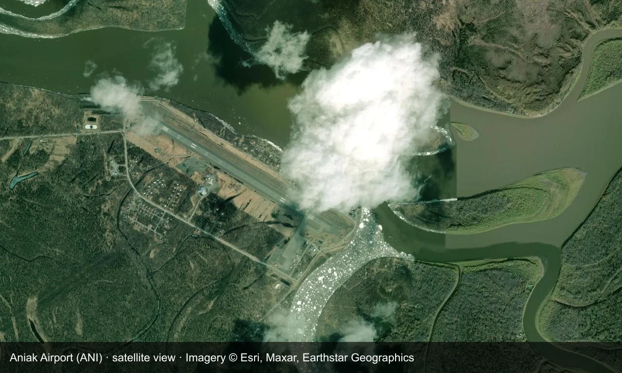
Satellite view: Aniak's runway runs along the Kuskokwim River, with the terminal and apron alongside it and woodland and wetlands around.
The satellite image comes from Esri World Imagery (© Esri, Maxar, Earthstar Geographics); the field and attribution are labelled in the image. This is a satellite view, not a ground-level photograph.
Airport at a glance
| Item | Detail |
|---|---|
| IATA / ICAO | ANI / PANI |
| Role | Medium-sized airport |
| Elevation | about 27 m |
| Coordinates | 61.5816, -159.5430 |
| Runways | 1, 1,890 m |
| Non-stop destinations | 3 (2014 snapshot, all domestic US) |
Runways
| Runway | Length | Width | Surface |
|---|---|---|---|
| 11/29 | 1,890 m | 30 m | ASPH-F |
1 runway, the longest 1,890 m.
Non-stop routes
3 non-stop destinations, nearest first (OpenFlights route snapshot compiled in 2014 — confirm with the airline or airport):
| Destination | Distance | Carriers |
|---|---|---|
| Holy Cross Airport (HCR) | ~69 km | Era Alaska, 7S |
| McGrath Airport (MCG) | ~254 km | Alaska Airlines, Peninsula Airways |
| Ted Stevens Anchorage International Airport (ANC) | ~510 km | Era Alaska, Alaska Airlines, Peninsula Airways |
The carrier column comes from the same snapshot and includes codeshare and interline services; treat it as an indication of how busy the route is and check the airline for who actually flies it.
Nearby airports to compare
If the fares are close, these are the nearest airports of the same class (medium-sized airport) — straight-line distance, with their own non-stop counts from the same dataset:
| Airport | Distance | Non-stop destinations |
|---|---|---|
| Anvik Airport (ANV) | ~123 km | 1 |
| Aleknagik / New Airport (WKK) | ~261 km | — |
Before you fly
- Interior Alaska weather changes quickly, and low cloud or snow can cause delays; build in a buffer.
- The three destinations are a 2014 snapshot and regional schedules and aircraft have changed.
About the data
Runways, elevation and coordinates come from OurAirports open data. Routes and carriers come from the June 2014 OpenFlights snapshot and include codeshares and interline services; they indicate network shape and scale, not current schedules.
Comentarios de los lectoresDebate
Las preguntas, los relatos de viaje y las correcciones son bienvenidos. Los comentarios son públicos.
Cargando…
Cargando comentarios…