
Ambilobe Airport
 Ambilobe · Madagascar· Ambilobe Airport
Ambilobe Airport (IATA: AMB, ICAO FMNE) là một sân bay nhỏ phục vụ Ambilobe, Madagascar.
Ambilobe Airport is a small airport, at an elevation of about 72 ft. This page gathers its location map, airport codes and travel information.
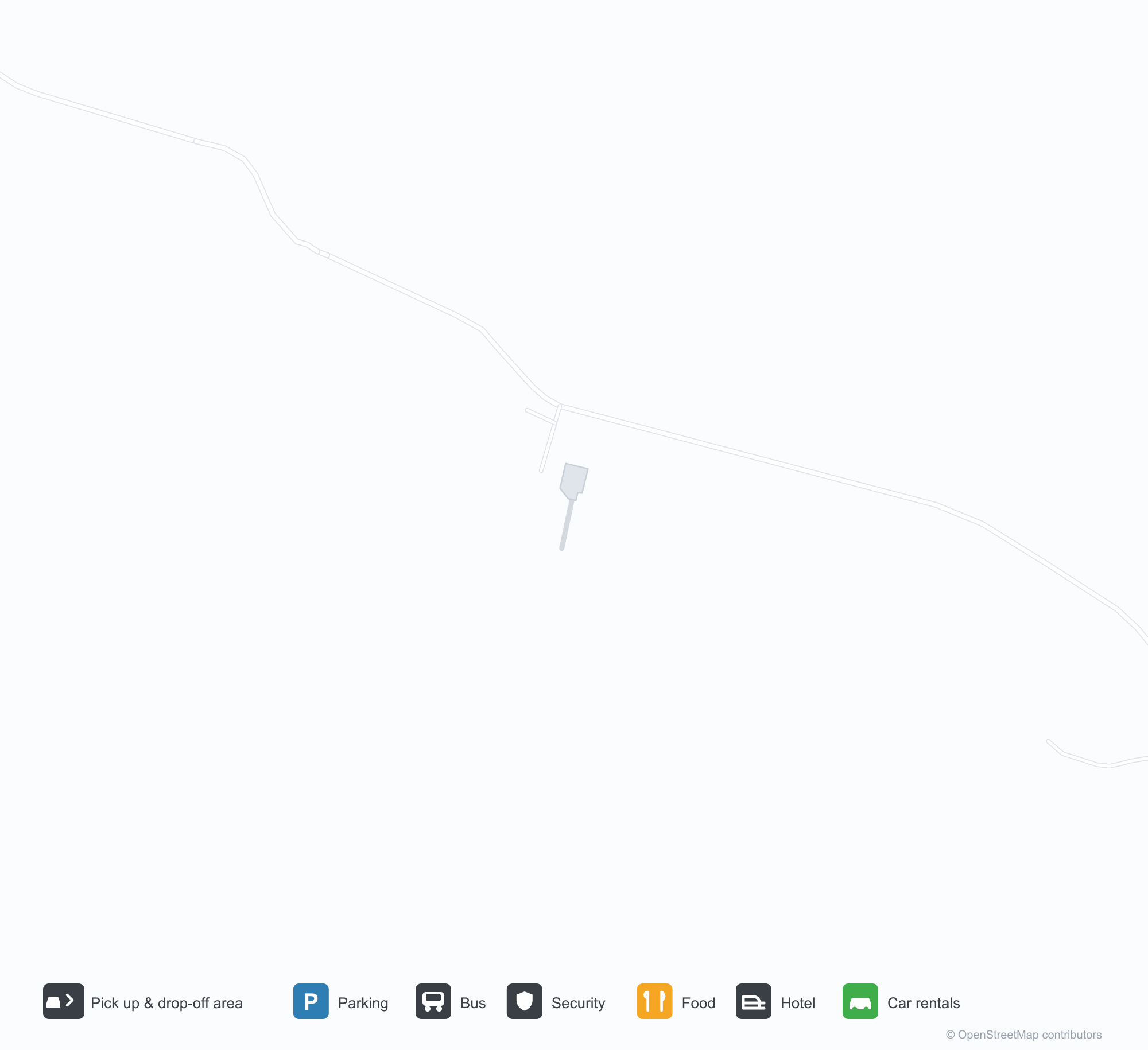
Tải bản đồ sân bayTải xuống
Ảnh sân bayẢnh sân bay
Ảnh thực tế của sân bay này, mỗi ảnh đều ghi nguồn từ trang web công khai nơi tìm thấy ảnh; bản quyền thuộc về nhiếp ảnh gia gốc. Nhấp vào ảnh để phóng to, hoặc nhấp vào dòng ghi nguồn để mở trang nguồn.
Ảnh vệ tinh: Sân bay Ambilobe (AMB) nằm giữa thị trấn, đồng ruộng và cây cối.
Thông tin & chi tiết sân bayChi tiết sân bay
Bản đồ tương tác — vị trí Ambilobe AirportBản đồ tương tác
Xem sân bay này trên các dịch vụ bản đồ khác:
Ambilobe Airport (AMB) Guide: An airfield with an empty route tableHướng dẫn sân bay
Ambilobe Airport (AMB) occupies a site among a patchwork of vegetation and open ground in Madagascar. It is about 22 m above sea level, with a single 1,500 m runway, and records no scheduled services in the 2014 snapshot. Nosy Be International Airport is the nearest airport at 74.2 km.
Satellite view
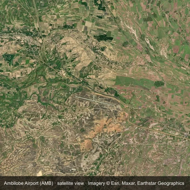
Overhead view of Ambilobe Airport (AMB) and the a patchwork of vegetation and open ground around it.
Satellite imagery © Esri, Maxar, Earthstar Geographics; the field and attribution are labelled in the image. This is an overhead view, not a ground-level photograph.
Airport at a glance
| Item | Detail |
|---|---|
| IATA / ICAO | AMB / FMNE |
| Role | small airport |
| Elevation | about 22 m |
| Coordinates | -13.1884, 48.9880 |
| Runways | 1, longest 1,500 m |
| Non-stop destinations | 0 in the 2014 snapshot |
Runways
| Runway | Length | Surface |
|---|---|---|
| 11/29 | 1,500 m | ASP |
Why there is no route table
No non-stop schedule was captured for AMB in 2014. For current movements, consult the airport operator or a recent flight-planning source.
Nearby airports
| Airport | Distance | Non-stop destinations |
|---|---|---|
| Nosy Be International Airport (NOS) | ~74.2 km | 4 |
| Arrachart Airport (DIE) | ~98.9 km | 5 |
| Sambava Airport (SVB) | ~176 km | 3 |
Getting there and navigating
- Coordinates: -13.1884, 48.9880
- Open in a map: Google Maps | Amap | Baidu Maps
The map on this page shows the airfield and nearby roads. Terminal connections and local transport are not covered here; the operator can confirm them.
Local context
The site at Ambilobe Airport is set in a patchwork of vegetation and open ground in Madagascar. Its main runway, 11/29, is aligned east–west and measures 1,500 m; the field lies at about 22 m.
With 1,500 m of asphalt, the airport sits in the regional-jet bracket. The paved surface supports regular operations, though it does not imply scheduled service. The closest airport, Nosy Be International Airport, lies 74.2 km away, with 4 destinations in the same snapshot.
Because no scheduled routes were captured in 2014, the practical question is charter or private access; ask the operator before building an itinerary around it.
Before you fly
- At 1,500 m, the runway suits turboprops and smaller jets rather than widebodies; confirm the aircraft type with the operator.
- The runway is paved, which supports year-round operations, but scheduled service is still not guaranteed.
- Nosy Be International Airport is 74.2 km away with 4 destinations in the 2014 snapshot, making it the nearest alternative for a scheduled flight.
- Treat this as a general-aviation or charter field rather than a large terminal; confirm handling and opening hours in advance.
- The site has no terminal guide on this page, so allow extra time for local arrangements and onward transport.
About the data
Runway and location data follow OurAirports. The route table is the June 2014 OpenFlights snapshot and may lag current airline schedules.
Bình luận của độc giảThảo luận
Hoan nghênh mọi câu hỏi, báo cáo chuyến đi và góp ý chỉnh sửa. Bình luận được công khai.
Đang tải…
Đang tải bình luận…