
Aviador C. Campos Airport
 San Martin de los Andes · Arjantin· Aviador C. Campos Airport
Aviador C. Campos Airport (IATA: CPC, ICAO SAZY), San Martin de los Andes, Arjantin kentine hizmet veren bir orta büyüklükte havalimanıdır.
Aviador C. Campos Airport is a medium-sized airport, at an elevation of about 2,569 ft, with scheduled passenger service. This page gathers its location map, airport codes and travel information.
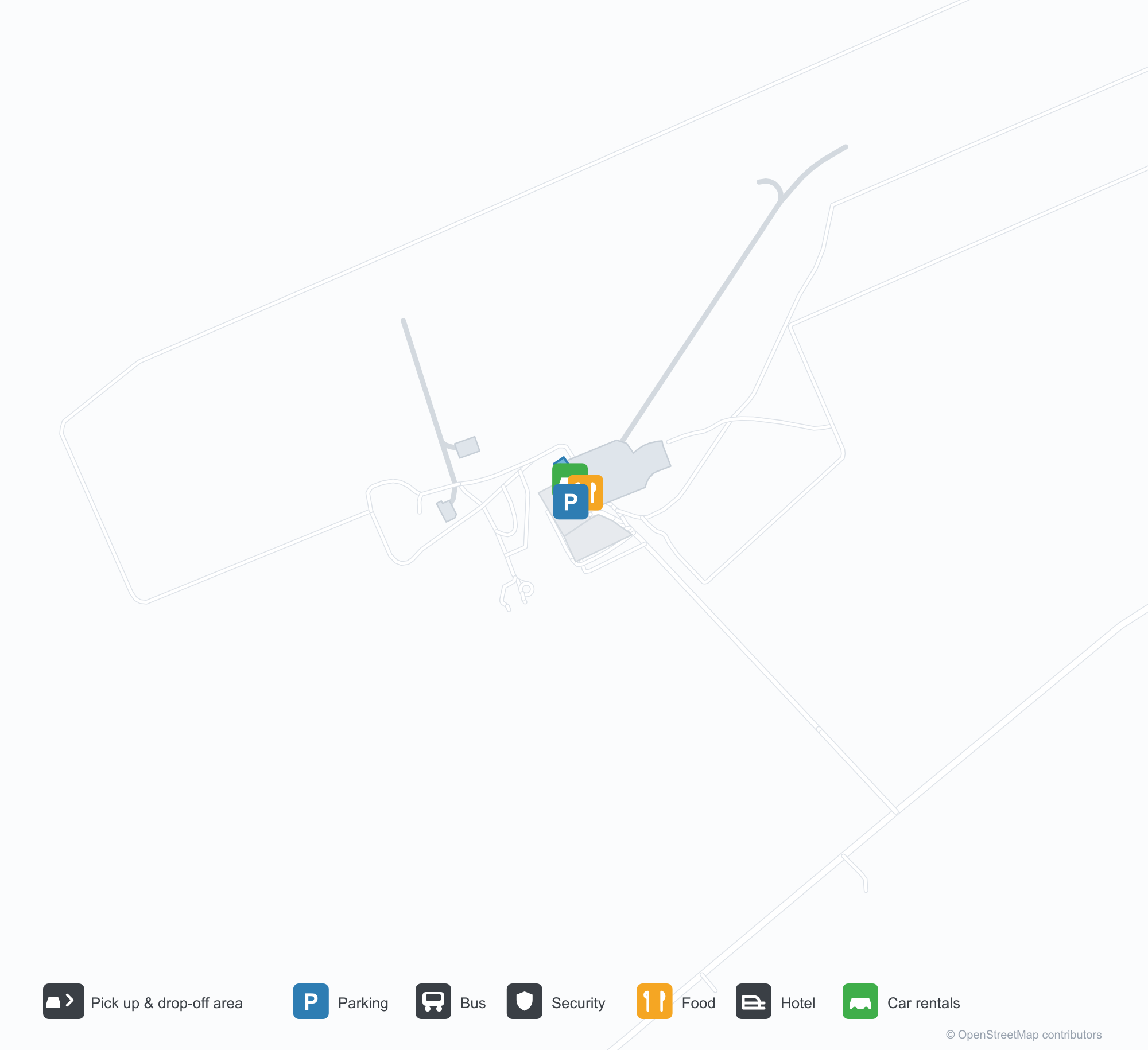
Havalimanı Haritalarını İndirinİndirmeler
Havalimanı fotoğraflarıHavalimanı Fotoğrafları
Bu havalimanının gerçek fotoğrafları; her fotoğrafın altında, fotoğrafın bulunduğu kamuya açık web sayfasına bir atıf yer alır ve telif hakkı özgün fotoğrafçılarda kalır. Yakınlaştırmak için bir fotoğrafa, kaynak sayfasını açmak için bir atıf satırına tıklayın.
Uydu görüntüsü: San Martín de los Andes pisti Patagonya Andları'nda vadiler ve göller arasında uzanıyor; terminal ve apron da yanında.
Aviador C. Campos Airport rota haritası — doğrudan varış noktalarıRota Haritası
1 doğrudan varış noktası: harita, sefer yapan havayolu şirketleri ve mesafeler.
Aviador C. Campos Airport uçuşları — kalkışlar ve varışlarUçuş Panosu
104 uçuş numarası, 7 havayolu şirketi ve 2 varış noktası, yönlere göre ayrılmıştır. Ortak uçuş numaraları dahildir.
| Uçuş | Havayolu şirketi | Varış noktası | Ülke/bölge |
|---|---|---|---|
| AF4204 | Air France | Buenos Aires (Ezeiza) (EZE) Ezeiza International Airport - Ministro Pistarini | Arjantin |
| AF4616 | Air France | Aeroparque Jorge Newbery | Arjantin |
| AF4616 | Air France | Buenos Aires (Ezeiza) (EZE) Ezeiza International Airport - Ministro Pistarini | Arjantin |
| AF5185 | Air France | Aeroparque Jorge Newbery | Arjantin |
| AR1653 | Aerolíneas Argentinas | Aeroparque Jorge Newbery | Arjantin |
| AR1653 | Aerolíneas Argentinas | Buenos Aires (Ezeiza) (EZE) Ezeiza International Airport - Ministro Pistarini | Arjantin |
| AR1655 | Aerolíneas Argentinas | Aeroparque Jorge Newbery | Arjantin |
| AR1655 | Aerolíneas Argentinas | Buenos Aires (Ezeiza) (EZE) Ezeiza International Airport - Ministro Pistarini | Arjantin |
| AR1657 | Aerolíneas Argentinas | Aeroparque Jorge Newbery | Arjantin |
| AR1657 | Aerolíneas Argentinas | Buenos Aires (Ezeiza) (EZE) Ezeiza International Airport - Ministro Pistarini | Arjantin |
| AR1659 | Aerolíneas Argentinas | Aeroparque Jorge Newbery | Arjantin |
| AR1659 | Aerolíneas Argentinas | Buenos Aires (Ezeiza) (EZE) Ezeiza International Airport - Ministro Pistarini | Arjantin |
| AZ4611 | ITA Airways | Aeroparque Jorge Newbery | Arjantin |
| G33070 | Gol Airlines | Buenos Aires (Ezeiza) (EZE) Ezeiza International Airport - Ministro Pistarini | Arjantin |
| G33074 | Gol Airlines | Aeroparque Jorge Newbery | Arjantin |
| G33075 | Gol Airlines | Aeroparque Jorge Newbery | Arjantin |
| G33083 | Gol Airlines | Aeroparque Jorge Newbery | Arjantin |
| G33084 | Gol Airlines | Aeroparque Jorge Newbery | Arjantin |
| G33087 | Gol Airlines | Aeroparque Jorge Newbery | Arjantin |
| G33088 | Gol Airlines | Aeroparque Jorge Newbery | Arjantin |
Uçuş numaraları ve rotalar aviability.com uçuş dizininden (anlık görüntü: 26 Ekim 2026); ortak uçuş numaraları dahildir ve kalkış saatleri gösterilmez. Kaynak: aviability.com ↗
Havalimanı bilgileri ve ayrıntılarıHavalimanı Ayrıntıları
Etkileşimli harita — Aviador C. Campos Airport konumuEtkileşimli Harita
Bu havalimanını diğer harita hizmetlerinde görüntüleyin:
San Martín de los Andes Airport (CPC): One Domestic Route in the Patagonian AndesHavalimanı Rehberi
From above, San Martín de los Andes runway lies between valleys and lakes in the Patagonian Andes, with the terminal and apron alongside it. The airport serves San Martín de los Andes in Neuquén, Argentina, at an elevation of about 783 m, with a 2,501 m runway; the 2014 snapshot records one domestic destination, Buenos Aires at 1,280 km.
Satellite view
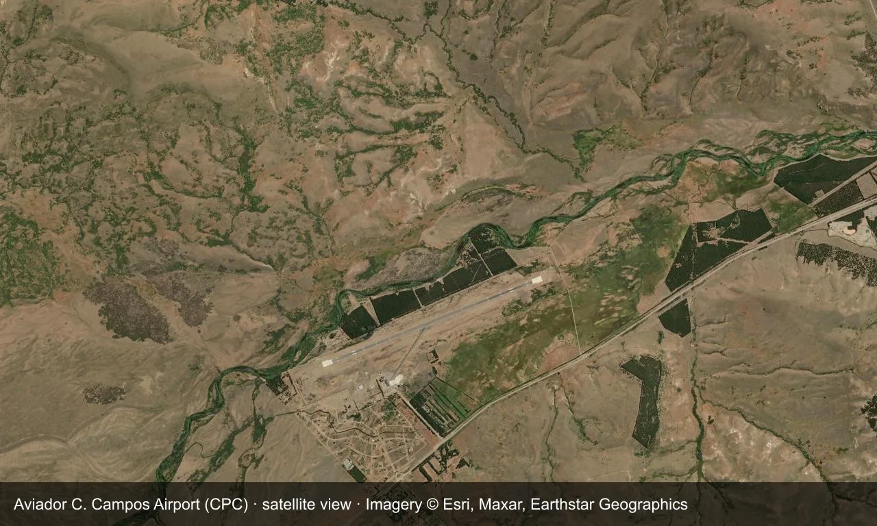
Satellite view: San Martín de los Andes runway lies between valleys and lakes in the Patagonian Andes, with the terminal and apron alongside it.
The satellite image comes from Esri World Imagery (© Esri, Maxar, Earthstar Geographics); the field and attribution are labelled in the image. This is a satellite view, not a ground-level photograph.
Airport at a glance
| Item | Detail |
|---|---|
| IATA / ICAO | CPC / SAZY |
| Role | Medium-sized airport |
| Elevation | about 783 m |
| Coordinates | -40.0754, -71.1373 |
| Runways | 1, 2,501 m |
| Non-stop destinations | 1 (Buenos Aires; 2014 snapshot) |
Runways
| Runway | Length | Width | Surface |
|---|---|---|---|
| 06/24 | 2,501 m | 45 m | asphalt |
1 runway, the longest 2,501 m.
Non-stop routes
1 non-stop destinations, nearest first (OpenFlights route snapshot compiled in 2014 — confirm with the airline or airport):
| Destination | Distance | Carriers |
|---|---|---|
| Aeroparque Jorge Newbery (AEP) | ~1280 km | Aerolineas Argentinas |
The carrier column comes from the same snapshot and includes codeshare and interline services; treat it as an indication of how busy the route is and check the airline for who actually flies it.
Nearby airports to compare
If the fares are close, these are the nearest airports of the same class (medium-sized airport) — straight-line distance, with their own non-stop counts from the same dataset:
| Airport | Distance | Non-stop destinations |
|---|---|---|
| Almirante Marco Andres Zar Airport (REL) | ~599 km | 6 |
Before you fly
- San Martín is a lake-district and ski destination, with more flights and baggage in winter.
- With only Buenos Aires, long trips connect there.
About the data
Runways, elevation and coordinates come from OurAirports open data. Routes and carriers come from the June 2014 OpenFlights snapshot and include codeshares and interline services; they indicate network shape and scale, not current schedules.
Okuyucu yorumlarıTartışma
Sorular, seyahat deneyimleri ve düzeltmeler memnuniyetle karşılanır. Yorumlar herkese açıktır.
Yükleniyor…
Yorumlar yükleniyor…