
Acadiana Regional Airport
 New Iberia · ABD· Acadiana Regional Airport
Acadiana Regional Airport (IATA: ARA, ICAO KARA), New Iberia, ABD kentine hizmet veren bir orta büyüklükte havalimanıdır.
Acadiana Regional Airport is a medium-sized airport, at an elevation of about 24 ft. This page gathers its location map, airport codes and travel information.
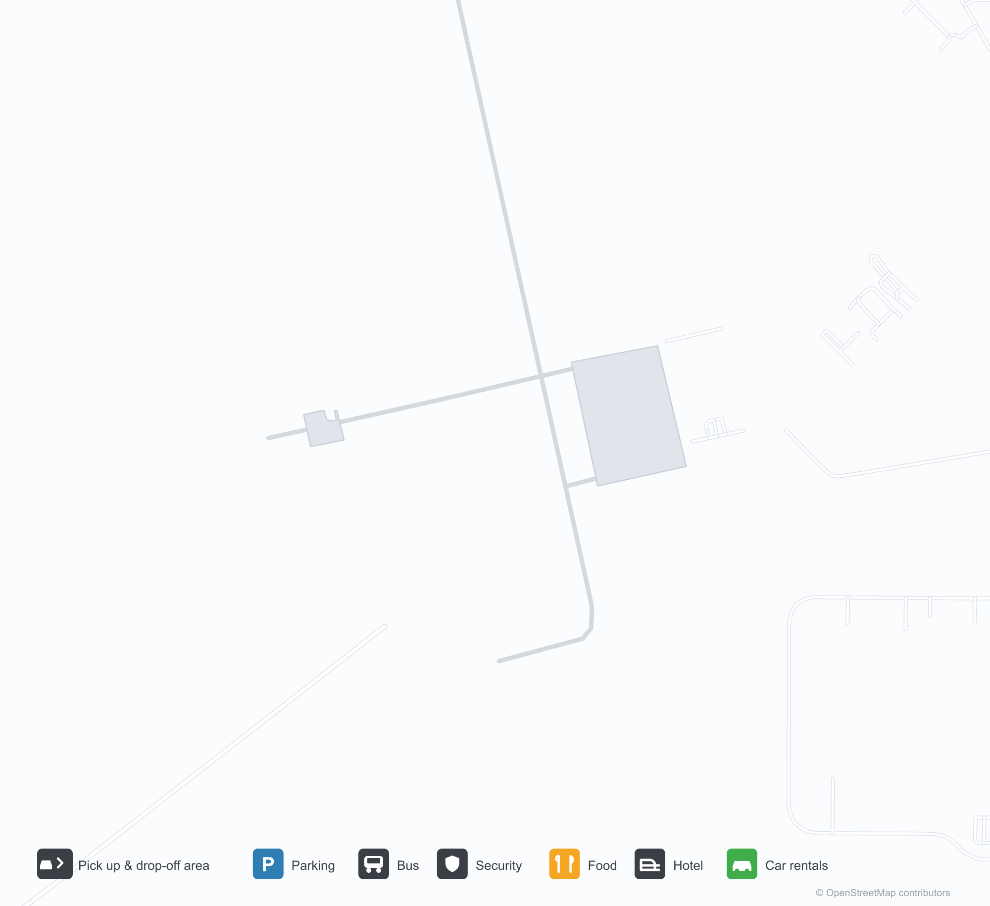
Havalimanı Haritalarını İndirinİndirmeler
Havalimanı fotoğraflarıHavalimanı Fotoğrafları
Bu havalimanının gerçek fotoğrafları; her fotoğrafın altında, fotoğrafın bulunduğu kamuya açık web sayfasına bir atıf yer alır ve telif hakkı özgün fotoğrafçılarda kalır. Yakınlaştırmak için bir fotoğrafa, kaynak sayfasını açmak için bir atıf satırına tıklayın.
Uydu görüntüsü: Acadiana Bölge Havalimanı (ARA) yeşil bitki örtüsü ve tarım arazileri arasında yer alıyor.
Gümüş harfler giriş tentesi boyunca havalimanının adını yazıyor; mavi gökyüzü altında soluk duvarlar, tuğla işçiliği ve bir çimenlik var.
Havadan bakıldığında 35 pisti tarım arazilerini dümdüz kesiyor; bir taksi yolu sağdaki hangarlara ve kaplı aprona gidiyor.
Küçük beyaz bir hafif spor uçak beton apronda duruyor; gövdesi boyunca tescili boyanmış, arkasında su ve yeşil tarlalar var.
Tuğla kolonlar, üzerinde TERMINAL yazılı beyaz bir giriş tentesini taşıyor; çitin ötesinde çimenlik ve uzakta bir pist var.
Havalimanının amblemi salon duvarına basılmış; sıralar halindeki siyah koltuklar televizyonlara ve çerçeveli afiş sırasına bakıyor.
Geniş beton apron üzerinde park etmiş küçük pistonlu bir uçak ve hafif bir jetin arkasında bir hangar açık duruyor.
Hangarın içinde iki adam hafif bir jetin açık burun kapağının yanında yeşil bir gaz tüpüyle çalışıyor; arkada bir başka küçük beyaz uçak park etmiş.
Havalimanı bilgileri ve ayrıntılarıHavalimanı Ayrıntıları
Etkileşimli harita — Acadiana Regional Airport konumuEtkileşimli Harita
Bu havalimanını diğer harita hizmetlerinde görüntüleyin:
Acadiana Regional Airport (ARA) Guide: The field and the landscape around itHavalimanı Rehberi
Acadiana Regional Airport (ARA) serves the United States. Seen from above, it sits among dense green vegetation and small fields; its elevation is about 7 m above sea level and it has 2 runways, the longest 2,439 m. No scheduled non-stop services are recorded for 2014. The nearest airport is Lafayette Regional Airport (21.1 km).
Satellite view
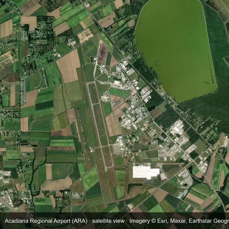
Satellite view: Acadiana Regional Airport (ARA) set among dense green vegetation and small fields.
Satellite imagery © Esri, Maxar, Earthstar Geographics; the field and attribution are labelled in the image. This is an overhead view, not a ground-level photograph.
Airport at a glance
| Item | Detail |
|---|---|
| IATA / ICAO | ARA / KARA |
| Role | medium-sized airport |
| Elevation | about 7 m |
| Coordinates | 30.0378, -91.8839 |
| Runways | 2, longest 2,439 m |
| Non-stop destinations | 0 in the 2014 snapshot |
| Official site | www.flyiberiaparish.com |
Runways
| Runway | Length | Surface |
|---|---|---|
| 16/34 | 2,439 m | CON |
| 16W/34W | 1,524 m | WATER |
Why there is no route table
ARA has an empty route table in the 2014 snapshot. The dataset only covers services it recorded, so treat the blank as a gap rather than a closure notice.
Nearby airports
| Airport | Distance | Non-stop destinations |
|---|---|---|
| Lafayette Regional Airport (LFT) | ~21.1 km | 3 |
| Baton Rouge Metropolitan Airport (BTR) | ~89.5 km | 4 |
| Lake Charles Regional Airport (LCH) | ~129 km | 2 |
Getting there and navigating
- Coordinates: 30.0378, -91.8839
- Official site: www.flyiberiaparish.com
- Open in a map: Google Maps | Amap | Baidu Maps
The location map gives the field's position relative to nearby roads and towns. Terminal and local-transport details are outside this dataset.
Local context
The site at Acadiana Regional Airport is set in dense green vegetation and small fields in the United States. Its main runway, 16/34, is aligned north–south and measures 2,439 m; the field lies at about 7 m.
With 2,439 m of runway, the airport sits in the regional-jet bracket. The surface type is not listed in the open data. The closest airport, Lafayette Regional Airport, lies 21.1 km away, with 3 destinations in the same snapshot.
Because no scheduled routes were captured in 2014, the practical question is charter or private access; ask the operator before building an itinerary around it.
Before you fly
- The 2,439 m runway can take larger regional aircraft, but that does not guarantee scheduled service.
- The runway is paved, which supports year-round operations, but scheduled service is still not guaranteed.
- Lafayette Regional Airport is 21.1 km away with 3 destinations in the 2014 snapshot, making it the nearest alternative for a scheduled flight.
- Treat this as a general-aviation or charter field rather than a large terminal; confirm handling and opening hours in advance.
- The site has no terminal guide on this page, so allow extra time for local arrangements and onward transport.
About the data
Runway and location data follow OurAirports. The route table is the June 2014 OpenFlights snapshot and may lag current airline schedules.
Okuyucu yorumlarıTartışma
Sorular, seyahat deneyimleri ve düzeltmeler memnuniyetle karşılanır. Yorumlar herkese açıktır.
Yükleniyor…
Yorumlar yükleniyor…