
Hawassa International Airport
 Hawassa · เอธิโอเปีย· Hawassa International Airport
Hawassa International Airport (IATA: AWA, ICAO HALA) เป็นสนามบินขนาดใหญ่ที่ให้บริการHawassa, เอธิโอเปีย
Hawassa International Airport is a large airport, at an elevation of about 5,450 ft, with scheduled passenger service. This page gathers its location map, airport codes and travel information.
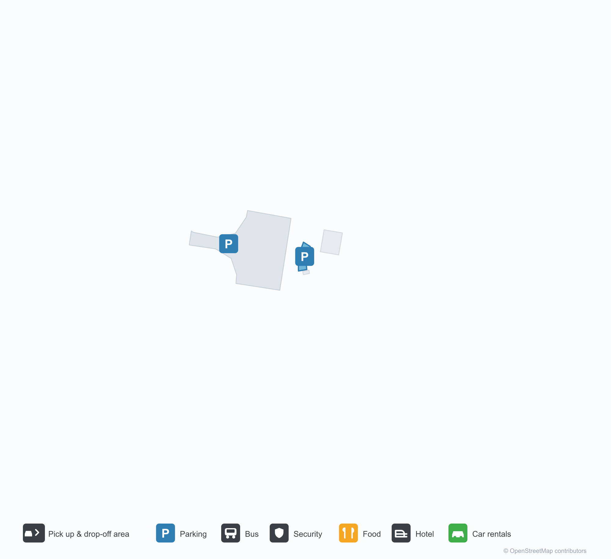
ดาวน์โหลดแผนที่สนามบินดาวน์โหลด
ภาพสนามบินภาพสนามบิน
ภาพจริงของสนามบินแห่งนี้ พร้อมเครดิตของหน้าเว็บสาธารณะที่พบภาพ; ลิขสิทธิ์ยังเป็นของผู้ถ่ายภาพต้นฉบับ คลิกที่ภาพเพื่อขยาย หรือคลิกบรรทัดเครดิตเพื่อเปิดหน้าแหล่งที่มา
ในภาพถ่ายดาวเทียม ทางวิ่งของท่าอากาศยานนานาชาติฮาวาสซา (AWA) อยู่ระหว่างตัวเมือง พื้นที่เกษตรกรรม และพืชพรรณ
ภายใต้ท้องฟ้ามีเมฆเป็นแถบ ผู้คนรวมตัวที่ประตูกระจกใต้หลังคากันแดดสีอ่อนกว้างของอาคารผู้โดยสาร โดยมีทางม้าลายจากสนามหญ้าเข้าสู่ตัวอาคาร
ภายใต้ท้องฟ้าสีน้ำเงินเข้ม เครื่องบินโดยสารหางสีเขียว เหลือง และแดงจอดอยู่บนลานจอด ขณะที่ผู้โดยสารปีนบันไดขึ้นเครื่อง
เที่ยวบินของHawassa International Airport — ขาออกและขาเข้าป้ายเที่ยวบิน
8 หมายเลขเที่ยวบิน ครอบคลุม 1 สายการบิน และ 1 จุดหมายปลายทาง แยกตามทิศทาง หมายเลขเที่ยวบินร่วม (codeshare) รวมอยู่ด้วย
| เที่ยวบิน | สายการบิน | จุดหมายปลายทาง | ประเทศ/ภูมิภาค |
|---|---|---|---|
| ET112 | Ethiopian Airlines | Addis Ababa Bole International Airport | เอธิโอเปีย |
| ET154 | Ethiopian Airlines | Addis Ababa Bole International Airport | เอธิโอเปีย |
| ET174 | Ethiopian Airlines | Addis Ababa Bole International Airport | เอธิโอเปีย |
| ET178 | Ethiopian Airlines | Addis Ababa Bole International Airport | เอธิโอเปีย |
หมายเลขเที่ยวบินและเส้นทางจากดัชนีเที่ยวบิน aviability.com (ข้อมูล ณ วันที่ 26 ตุลาคม 2569); รวมหมายเลขเที่ยวบินร่วมและไม่แสดงเวลาเดินทาง ที่มา: aviability.com ↗
ข้อมูลและรายละเอียดสนามบินรายละเอียดสนามบิน
แผนที่อินเทอร์แอกทีฟ — ตำแหน่ง Hawassa International Airportแผนที่อินเทอร์แอกทีฟ
ดูสนามบินนี้บนบริการแผนที่อื่น:
Hawassa International Airport (AWA) Guide: No scheduled services on recordคู่มือสนามบิน
The satellite view of Hawassa International Airport (AWA) in Ethiopia shows dry ground and bare land around the field. At about 1,661 m above sea level, the airport has a single 3,000 m runway. No scheduled routes appear in 2014; the closest airport is Arba Minch Airport, 148 km away.
Satellite view
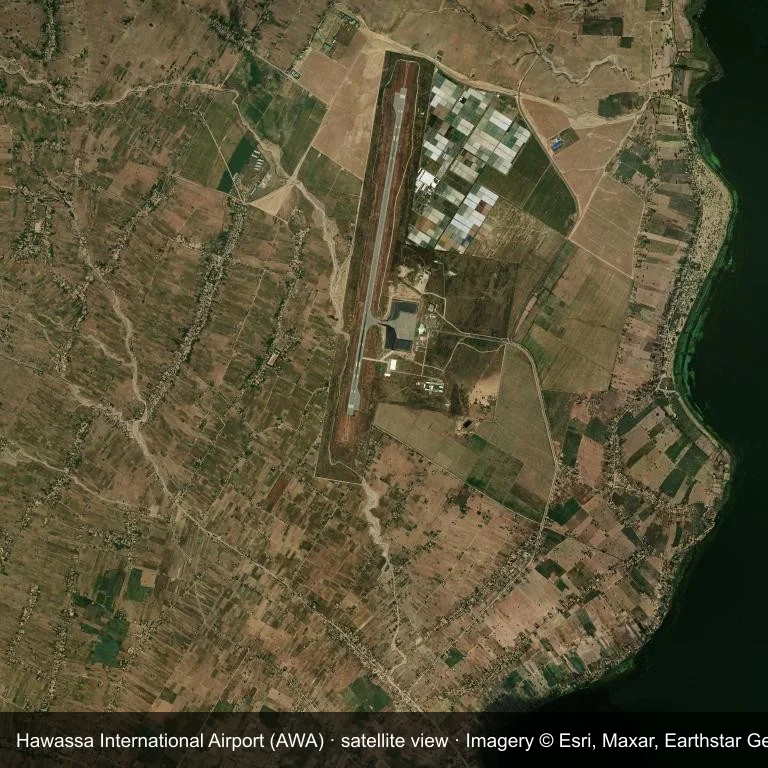
Satellite image: Hawassa International Airport (AWA) lies among dry ground and bare land.
Imagery: Esri World Imagery (© Esri, Maxar, Earthstar Geographics), with attribution in the image. It shows the field from orbit, not from the ground.
Airport at a glance
| Item | Detail |
|---|---|
| IATA / ICAO | AWA / HALA |
| Role | large airport |
| Elevation | about 1,661 m |
| Coordinates | 7.1006, 38.3965 |
| Runways | 1, longest 3,000 m |
| Non-stop destinations | 0 in the 2014 snapshot |
Runways
| Runway | Length | Surface |
|---|---|---|
| 01/19 | 3,000 m | ASPH |
Why there is no route table
AWA has an empty route table in the 2014 snapshot. The dataset only covers services it recorded, so treat the blank as a gap rather than a closure notice.
Nearby airports
| Airport | Distance | Non-stop destinations |
|---|---|---|
| Arba Minch Airport (AMH) | ~148 km | 1 |
| Jimma Airport (JIM) | ~185 km | 2 |
| Addis Ababa Bole International Airport (ADD) | ~213 km | 66 |
Getting there and navigating
- Coordinates: 7.1006, 38.3965
- Open in a map: Google Maps | Amap | Baidu Maps
The map shows the field in its local road context. This page does not cover terminal links or local transport; confirm those with the operator.
Airport sketch
Hawassa International Airport occupies ground in Ethiopia surrounded by dry ground and bare land. The 01/19 runway runs north–south and offers 3,000 m of asphalt; elevation is about 1,661 m.
The runway gives 3,000 m of asphalt, a narrowbody profile. The paved surface supports regular operations, though it does not imply scheduled service. Arba Minch Airport is 148 km away, with 1 destination in the same snapshot.
With no routes in the 2014 data, this is not a reliable scheduled destination. Use Arba Minch Airport as the nearest back-up and verify access with the airport operator.
Before you fly
- The 3,000 m runway can take larger regional aircraft, but that does not guarantee scheduled service.
- The runway is paved, which supports year-round operations, but scheduled service is still not guaranteed.
- Arba Minch Airport is 148 km away with 1 destination in the 2014 snapshot, making it the nearest alternative for a scheduled flight.
- The site has no terminal guide on this page, so allow extra time for local arrangements and onward transport.
- Treat this as a general-aviation or charter field rather than a large terminal; confirm handling and opening hours in advance.
About the data
Runways, elevation and coordinates come from OurAirports open data; routes come from the June 2014 OpenFlights snapshot. That snapshot describes network shape and scale, not current schedules.
ความคิดเห็นจากผู้อ่านการสนทนา
ยินดีรับคำถาม รายงานการเดินทาง และการแก้ไข ความคิดเห็นเป็นสาธารณะ
กำลังโหลด…
กำลังโหลดความคิดเห็น…