
Alexandra Aerodrome
 Alexandra · นิวซีแลนด์· Alexandra Aerodrome
Alexandra Aerodrome (IATA: ALR, ICAO NZLX) เป็นสนามบินขนาดกลางที่ให้บริการAlexandra, นิวซีแลนด์
Alexandra Aerodrome is a medium-sized airport, at an elevation of about 752 ft. This page gathers its location map, airport codes and travel information.
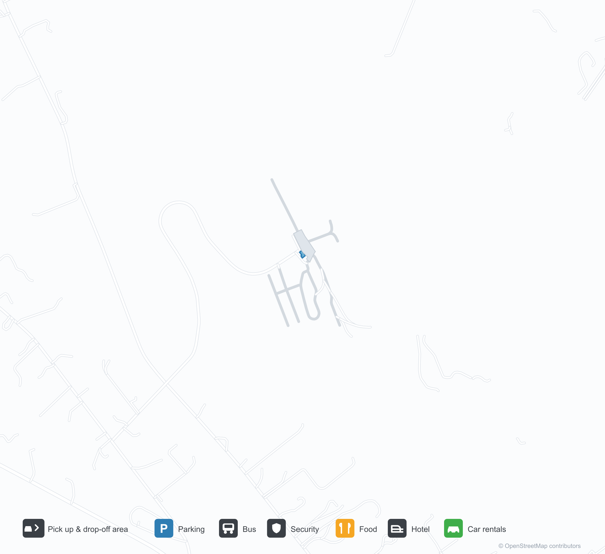
ดาวน์โหลดแผนที่สนามบินดาวน์โหลด
ภาพสนามบินภาพสนามบิน
ภาพจริงของสนามบินแห่งนี้ พร้อมเครดิตของหน้าเว็บสาธารณะที่พบภาพ; ลิขสิทธิ์ยังเป็นของผู้ถ่ายภาพต้นฉบับ คลิกที่ภาพเพื่อขยาย หรือคลิกบรรทัดเครดิตเพื่อเปิดหน้าแหล่งที่มา
ในภาพถ่ายดาวเทียม สนามบินอเล็กซานดรา (ALR) กลมกลืนกับพื้นดินแห้งและที่ดินว่างเปล่าโดยรอบ
ข้อมูลและรายละเอียดสนามบินรายละเอียดสนามบิน
แผนที่อินเทอร์แอกทีฟ — ตำแหน่ง Alexandra Aerodromeแผนที่อินเทอร์แอกทีฟ
ดูสนามบินนี้บนบริการแผนที่อื่น:
Alexandra Aerodrome (ALR) Guide: An airport with no non-stop servicesคู่มือสนามบิน
From above, Alexandra Aerodrome (ALR) sits among a patchwork of vegetation and open ground in New Zealand. The airport is about 229 m above sea level and has 3 runways, the longest 1,200 m; its 2014 route table is empty. The nearest airport is Queenstown Airport (53.4 km).
Satellite view
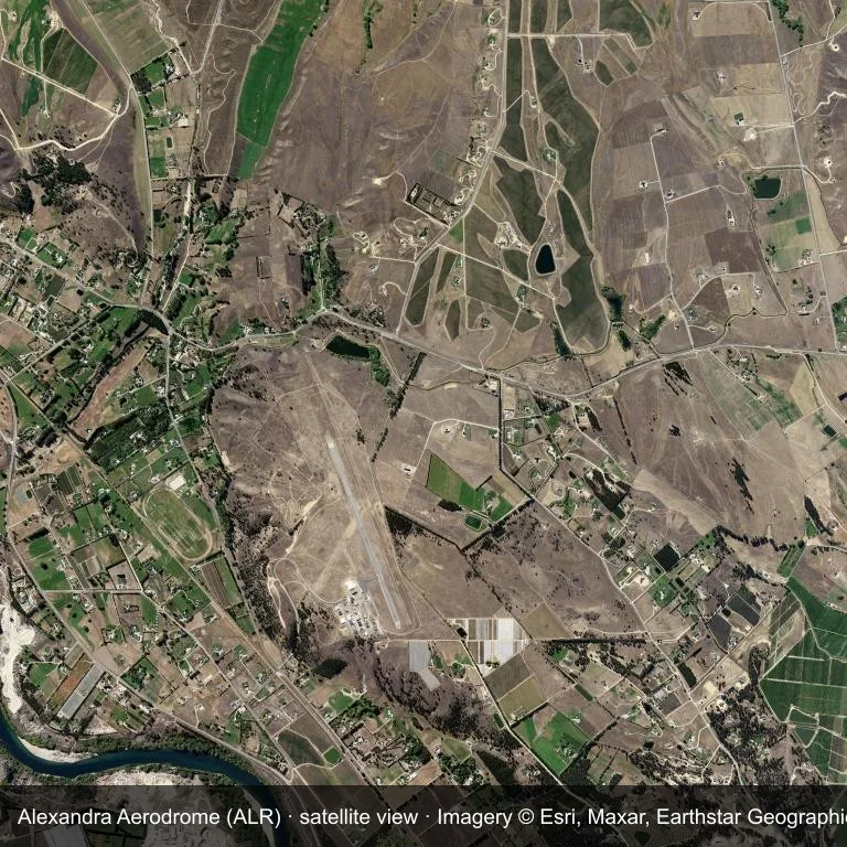
Satellite view: the airfield at Alexandra Aerodrome (ALR) surrounded by a patchwork of vegetation and open ground.
Source: Esri World Imagery (© Esri, Maxar, Earthstar Geographics); attribution is in the image. This is an overhead view, not a ground-level photograph.
Airport at a glance
| Item | Detail |
|---|---|
| IATA / ICAO | ALR / NZLX |
| Role | medium-sized airport |
| Elevation | about 229 m |
| Coordinates | -45.2105, 169.3711 |
| Runways | 3, longest 1,200 m |
| Non-stop destinations | 0 in the 2014 snapshot |
Runways
| Runway | Length | Surface |
|---|---|---|
| 14L/32R | 1,200 m | GRS |
| 14R/32L | 1,200 m | ASP |
| 01/19 | 652 m | GRS |
Why there is no route table
No non-stop schedule was captured for ALR in 2014. For current movements, consult the airport operator or a recent flight-planning source.
Nearby airports
| Airport | Distance | Non-stop destinations |
|---|---|---|
| Queenstown Airport (ZQN) | ~53.4 km | 4 |
| Wanaka Airport (WKA) | ~55.2 km | — |
| Dunedin International Airport (DUD) | ~103 km | 3 |
Getting there and navigating
- Coordinates: -45.2105, 169.3711
- Open in a map: Google Maps | Amap | Baidu Maps
The map shows the field in its local road context. This page does not cover terminal links or local transport; confirm those with the operator.
Using this airport
Alexandra Aerodrome sits in New Zealand, where a patchwork of vegetation and open ground surrounds the field. Runway 14L/32R runs northwest–southeast, with 1,200 m of runway at an elevation of about 229 m.
Operationally, 1,200 m of runway places the field in the turboprop and light-jet bracket. The surface type is not listed in the open data. Queenstown Airport is the closest alternative, 53.4 km away, with 4 destinations in the same snapshot.
The 2014 route record is empty. For a planned trip, begin with Queenstown Airport or another airport with a recorded schedule, then check locally whether a charter can use this field.
Before you fly
- At 1,200 m, the runway suits turboprops and smaller jets rather than widebodies; confirm the aircraft type with the operator.
- The runway is paved, which supports year-round operations, but scheduled service is still not guaranteed.
- Queenstown Airport is 53.4 km away with 4 destinations in the 2014 snapshot, making it the nearest alternative for a scheduled flight.
- Ask the operator about customs, fuel and handling before booking; services at fields this size are not always available on demand.
- Treat this as a general-aviation or charter field rather than a large terminal; confirm handling and opening hours in advance.
About the data
OurAirports supplies the runway, elevation and coordinate figures. The 2014 OpenFlights snapshot supplies the route list; both are reference data, not live operational information.
ความคิดเห็นจากผู้อ่านการสนทนา
ยินดีรับคำถาม รายงานการเดินทาง และการแก้ไข ความคิดเห็นเป็นสาธารณะ
กำลังโหลด…
กำลังโหลดความคิดเห็น…