
Andahuaylas Airport
 Andahuaylas · Перу· Andahuaylas Airport
Andahuaylas Airport (IATA: ANS, ICAO SPHY) — малый аэропорт в городе Andahuaylas, Перу.
Andahuaylas Airport is a small airport, at an elevation of about 11,300 ft, with scheduled passenger service. This page gathers its location map, airport codes and travel information.
Скачать карты аэропортаЗагрузки
Фотографии аэропортаФото аэропорта
Реальные фотографии этого аэропорта; у каждой указан источник — общедоступная веб-страница. Авторские права принадлежат фотографам. Нажмите на фото, чтобы увеличить, или на подпись, чтобы открыть источник.
Вид со спутника: аэропорт Андауайлас (ANS) окружён сухой землёй и пустошами.
Andahuaylas Airport: рейсы — вылеты и прилётыТабло рейсов
4 номеров рейсов у 2 авиакомпаний по 1 направлению, с разбивкой по направлению. Номера код-шеринга также включены.
| Рейс | Авиакомпания | Направление | Страна/регион |
|---|---|---|---|
| 4A4072 | Atsa Airlines | Jorge Chávez International Airport | Перу |
| A16163 | Apg Airlines | Jorge Chávez International Airport | Перу |
Номера рейсов и маршруты из индекса рейсов aviability.com (снимок 26 октября 2026 г.); номера код-шеринга включены, время вылета не указано. Источник: aviability.com ↗
Информация об аэропортеСведения об аэропорте
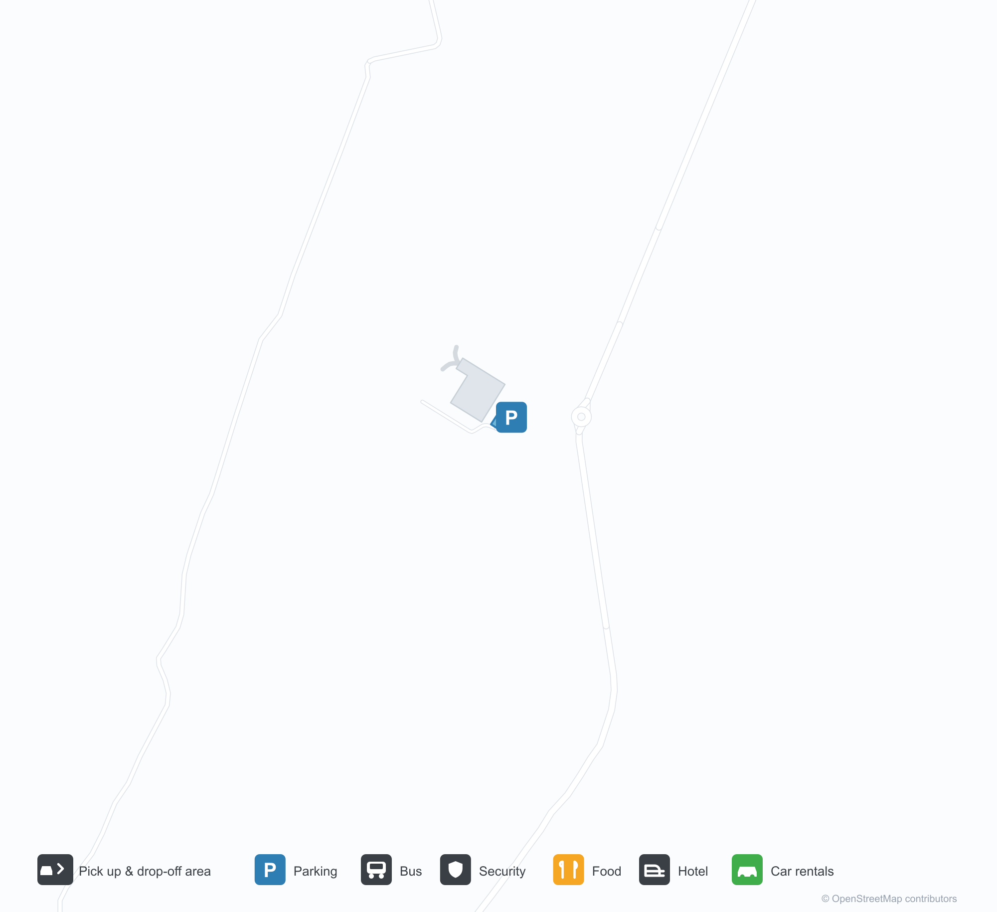
Интерактивная карта: Andahuaylas AirportИнтерактивная карта
Посмотреть этот аэропорт на других картографических сервисах:
Andahuaylas Airport (ANS) Guide: A field with no routes in the snapshotПутеводитель по аэропорту
Andahuaylas Airport (ANS) lies in Peru, with satellite imagery showing dry ground and bare land. The field sits at about 3,444 m above sea level and has a single 2,500 m runway; the 2014 route snapshot records no scheduled services. The nearest airport is Air Force Colonel Alfredo Mendivil Duarte Airport (111 km).
Satellite view
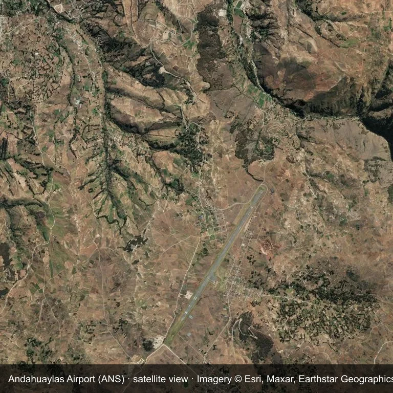
The field at Andahuaylas Airport (ANS) seen from orbit, set in dry ground and bare land.
The image is Esri World Imagery (© Esri, Maxar, Earthstar Geographics), labelled with the field and source. It is a satellite view, not a ground photo.
Airport at a glance
| Item | Detail |
|---|---|
| IATA / ICAO | ANS / SPHY |
| Role | small airport |
| Elevation | about 3,444 m |
| Coordinates | -13.7064, -73.3504 |
| Runways | 1, longest 2,500 m |
| Non-stop destinations | 0 in the 2014 snapshot |
Runways
| Runway | Length | Surface |
|---|---|---|
| 03/21 | 2,500 m | ASP |
Why there is no route table
The 2014 OpenFlights snapshot contains no scheduled services for ANS. Absence from that dataset is not proof that the field is unused today; check current airport and airline information before travelling.
Nearby airports
| Airport | Distance | Non-stop destinations |
|---|---|---|
| Air Force Colonel Alfredo Mendivil Duarte Airport (AYP) | ~111 km | 1 |
| Alejandro Velasco Astete International Airport (CUZ) | ~154 km | 5 |
| Maria Reiche Neuman Airport (NZC) | ~215 km | — |
Getting there and navigating
- Coordinates: -13.7064, -73.3504
- Open in a map: Google Maps | Amap | Baidu Maps
The map on this page shows the airfield and nearby roads. Terminal connections and local transport are not covered here; the operator can confirm them.
Runway and surroundings
From the air, Andahuaylas Airport appears within dry ground and bare land in Peru. The primary strip, 03/21, is oriented northeast–southwest and extends 2,500 m at about 3,444 m.
That 2,500 m length is typical of narrowbody operations. The paved surface supports regular operations, though it does not imply scheduled service. The nearest airport is Air Force Colonel Alfredo Mendivil Duarte Airport, 111 km away, with 1 destination in the same snapshot.
No scheduled services appear in the 2014 snapshot, so the field is best treated as a general-aviation or charter stop; confirm handling and current movements with the operator.
Before you fly
- The 2,500 m runway can take larger regional aircraft, but that does not guarantee scheduled service.
- The runway is paved, which supports year-round operations, but scheduled service is still not guaranteed.
- At about 3,444 m, density altitude can affect take-off performance; weight limits may apply on warm days.
- Air Force Colonel Alfredo Mendivil Duarte Airport is 111 km away with 1 destination in the 2014 snapshot, making it the nearest alternative for a scheduled flight.
- Because the 2014 route table is empty, check the airport operator's current notices before making travel plans.
- Treat this as a general-aviation or charter field rather than a large terminal; confirm handling and opening hours in advance.
About the data
The airport facts on this page are drawn from OurAirports. Route data is the June 2014 OpenFlights snapshot, so treat it as historical context rather than a timetable.
Комментарии читателейОбсуждение
Вопросы, отчёты о поездках и исправления приветствуются. Комментарии видны всем.
Загрузка…
Загрузка комментариев…