
Atikokan Municipal Airport
 Atikokan · 캐나다· Atikokan Municipal Airport
Atikokan Municipal Airport(IATA: YIB, ICAO: CYIB)은 캐나다 Atikokan에 위치한 중형 공항입니다.
Atikokan Municipal Airport is a medium-sized airport, at an elevation of about 1,408 ft. This page gathers its location map, airport codes and travel information.
공항 지도 다운로드다운로드
공항 실제 사진공항 사진
다음은 이 공항의 실제 사진으로, 모두 공개된 인터넷 출처에서 가져왔으며 사진마다 출처를 표시했습니다. 저작권은 원저작자에게 있습니다. 사진을 클릭하면 크게 볼 수 있고, 출처를 클릭하면 원본 페이지가 열립니다.
위성 사진: 녹색 식생과 농지 사이에 자리한 아티코칸 시립공항(YIB).
공항 정보 및 상세공항 상세
Atikokan Municipal Airport 인터랙티브 지도 — 공항 위치인터랙티브 지도
다른 지도 서비스에서 이 공항 보기:
Atikokan Municipal Airport (YIB) Guide: Mapped from above, missing dimensions공항 안내
Atikokan Municipal Airport (YIB) serves Canada. Seen from above, it sits among dense green vegetation and small fields; its elevation is about 429 m above sea level and it has a single 1,067 m runway. No scheduled non-stop services are recorded for 2014. The nearest airport is Falls International Airport (132 km).
Satellite view
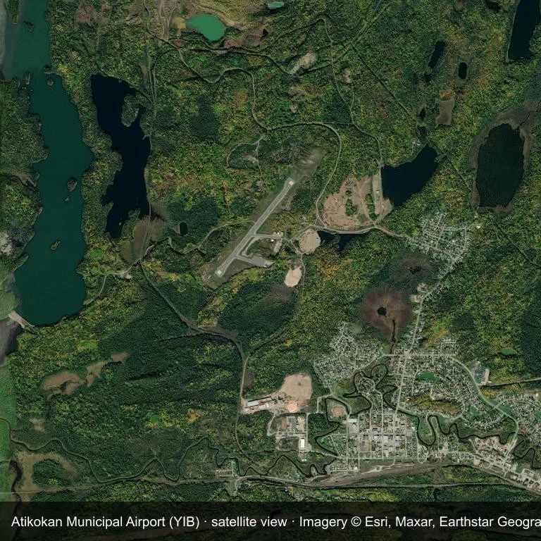
Satellite view: Atikokan Municipal Airport (YIB) set among dense green vegetation and small fields.
Satellite imagery © Esri, Maxar, Earthstar Geographics; the field and attribution are labelled in the image. This is an overhead view, not a ground-level photograph.
Airport at a glance
| Item | Detail |
|---|---|
| IATA / ICAO | YIB / CYIB |
| Role | medium-sized airport |
| Elevation | about 429 m |
| Coordinates | 48.7739, -91.6386 |
| Runways | 1, longest 1,067 m |
| Non-stop destinations | 0 in the 2014 snapshot |
| Official site | www.atikokaninfo.com/community/transportation/airport |
Runways
| Runway | Length | Surface |
|---|---|---|
| 04/22 | 1,067 m | ASP |
Why there is no route table
No non-stop schedule was captured for YIB in 2014. For current movements, consult the airport operator or a recent flight-planning source.
Nearby airports
| Airport | Distance | Non-stop destinations |
|---|---|---|
| Falls International Airport (INL) | ~132 km | 2 |
| Fort Frances Municipal Airport (YAG) | ~133 km | 2 |
| Sioux Lookout Airport (YXL) | ~150 km | 5 |
Getting there and navigating
- Coordinates: 48.7739, -91.6386
- Official site: www.atikokaninfo.com/community/transportation/airport
- Open in a map: Google Maps | Amap | Baidu Maps
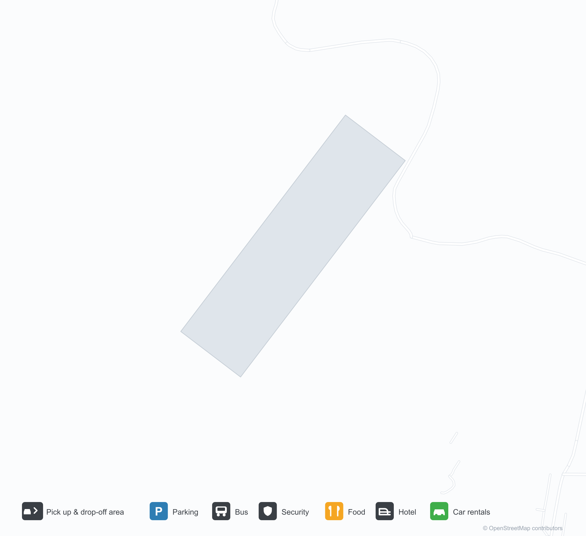
Use the location map to see how the airfield sits against local roads and settlements. For terminal connections and local transport, check with the airport or airline.
Local context
The site at Atikokan Municipal Airport is set in dense green vegetation and small fields in Canada. Its main runway, 04/22, is aligned northeast–southwest and measures 1,067 m; the field lies at about 429 m.
With 1,067 m of asphalt, the airport sits in the turboprop and light-jet bracket. The paved surface supports regular operations, though it does not imply scheduled service. The closest airport, Falls International Airport, lies 132 km away, with 2 destinations in the same snapshot.
Because no scheduled routes were captured in 2014, the practical question is charter or private access; ask the operator before building an itinerary around it.
Before you fly
- The 1,067 m runway limits operations to small aircraft; baggage and payload limits are usually strict.
- The runway is paved, which supports year-round operations, but scheduled service is still not guaranteed.
- Falls International Airport is 132 km away with 2 destinations in the 2014 snapshot, making it the nearest alternative for a scheduled flight.
- Treat this as a general-aviation or charter field rather than a large terminal; confirm handling and opening hours in advance.
- The site has no terminal guide on this page, so allow extra time for local arrangements and onward transport.
About the data
Runway and location data follow OurAirports. The route table is the June 2014 OpenFlights snapshot and may lag current airline schedules.