
Sandane Airport, Anda
 Sandane · 노르웨이· Sandane Airport, Anda
Sandane Airport, Anda(IATA: SDN, ICAO: ENSD)은 노르웨이 Sandane에 위치한 소형 공항입니다.
Sandane Airport, Anda is a small airport, at an elevation of about 196 ft, with scheduled passenger service. This page gathers its location map, airport codes and travel information.
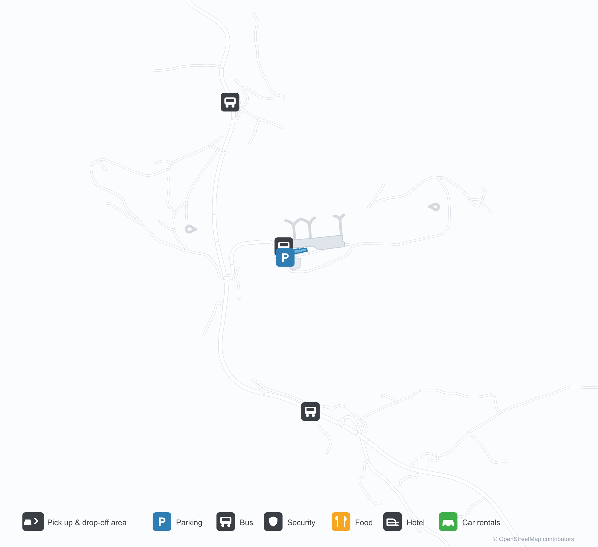
공항 지도 다운로드다운로드
공항 실제 사진공항 사진
다음은 이 공항의 실제 사진으로, 모두 공개된 인터넷 출처에서 가져왔으며 사진마다 출처를 표시했습니다. 저작권은 원저작자에게 있습니다. 사진을 클릭하면 크게 볼 수 있고, 출처를 클릭하면 원본 페이지가 열립니다.
산다네 공항 — 탑승 계단을 내린 채 계류장에 선 Widerøe Dash 8, 항공기 뒤로 펼쳐진 피오르와 산(photo: Bjoern Huke / PlanePictures.net).
공항 정보 및 상세공항 상세
Sandane Airport, Anda 인터랙티브 지도 — 공항 위치인터랙티브 지도
다른 지도 서비스에서 이 공항 보기:
Sandane Airport (SDN): A 970 m Runway Between Fjord and Snow공항 안내
A Widerøe Dash 8 stands on Sandane's apron with the airstairs down, fjord and snow peaks behind it. The airport serves Sandane in Norway at an elevation of about 60 m, with a 970 m runway; the 2014 snapshot records no scheduled routes.
Airport photos
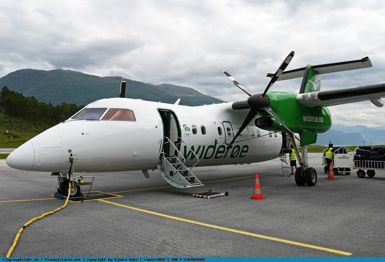
Sandane airport — a Widerøe Dash 8 on the apron with its airstair down, the fjord and mountains spread out behind the aircraft (photo: Bjoern Huke / PlanePictures.net).
The photos come from public web sources and remain the copyright of their photographers; full credits and source links sit in the photo gallery on this page.
Airport at a glance
| Item | Detail |
|---|---|
| IATA / ICAO | SDN / ENSD |
| Role | Small airport |
| Elevation | about 60 m |
| Coordinates | 61.8300, 6.1058 |
| Runways | 1, 970 m |
| Non-stop destinations | 0 in the 2014 snapshot |
| Official site | avinor.no/en/airport/sandane-airport |
Runways
| Runway | Length | Width | Surface |
|---|---|---|---|
| 08/26 | 970 m | 30 m | asphalt |
1 runway, the longest 970 m.
Non-stop routes
The route dataset carries no scheduled non-stop services for this airport. Regional schedules change often — confirm with the airline or airport before booking.
Nearby airports to compare
If the fares are close, these are the nearest airports of the same class (small airport) — straight-line distance, with their own non-stop counts from the same dataset:
| Airport | Distance | Non-stop destinations |
|---|---|---|
| Arnsberg-Menden Airport (ZCA) | ~1,156 km | — |
| 阿什福德机场 (LYM) | ~1,234 km | — |
Before you fly
- The 970 m runway limits aircraft and payloads, and fjord weather and crosswinds affect operations.
- The 2014 snapshot has no scheduled routes, but the Widerøe aircraft shows regional service exists; check the airline before booking.
About the data
Runways, elevation and coordinates come from OurAirports open data. Routes and carriers come from the June 2014 OpenFlights snapshot and include codeshares and interline services; they indicate network shape and scale, not current schedules.
History
Opened in 1975 on the neck of a peninsula between the Nordfjord and Gloppefjord, Sandane is run by Avinor with Widerøe as its sole operator, flying Dash 8s on public service obligation routes.
Source: Sandane Airport.