
Alferez Fap David Figueroa Fernandini Airport
 Huánuco · 페루· Alferez Fap David Figueroa Fernandini Airport
Alferez Fap David Figueroa Fernandini Airport(IATA: HUU, ICAO: SPNC)은 페루 Huánuco에 위치한 중형 공항입니다.
Alferez Fap David Figueroa Fernandini Airport is a medium-sized airport, at an elevation of about 6,070 ft, with scheduled passenger service. This page gathers its location map, airport codes and travel information.
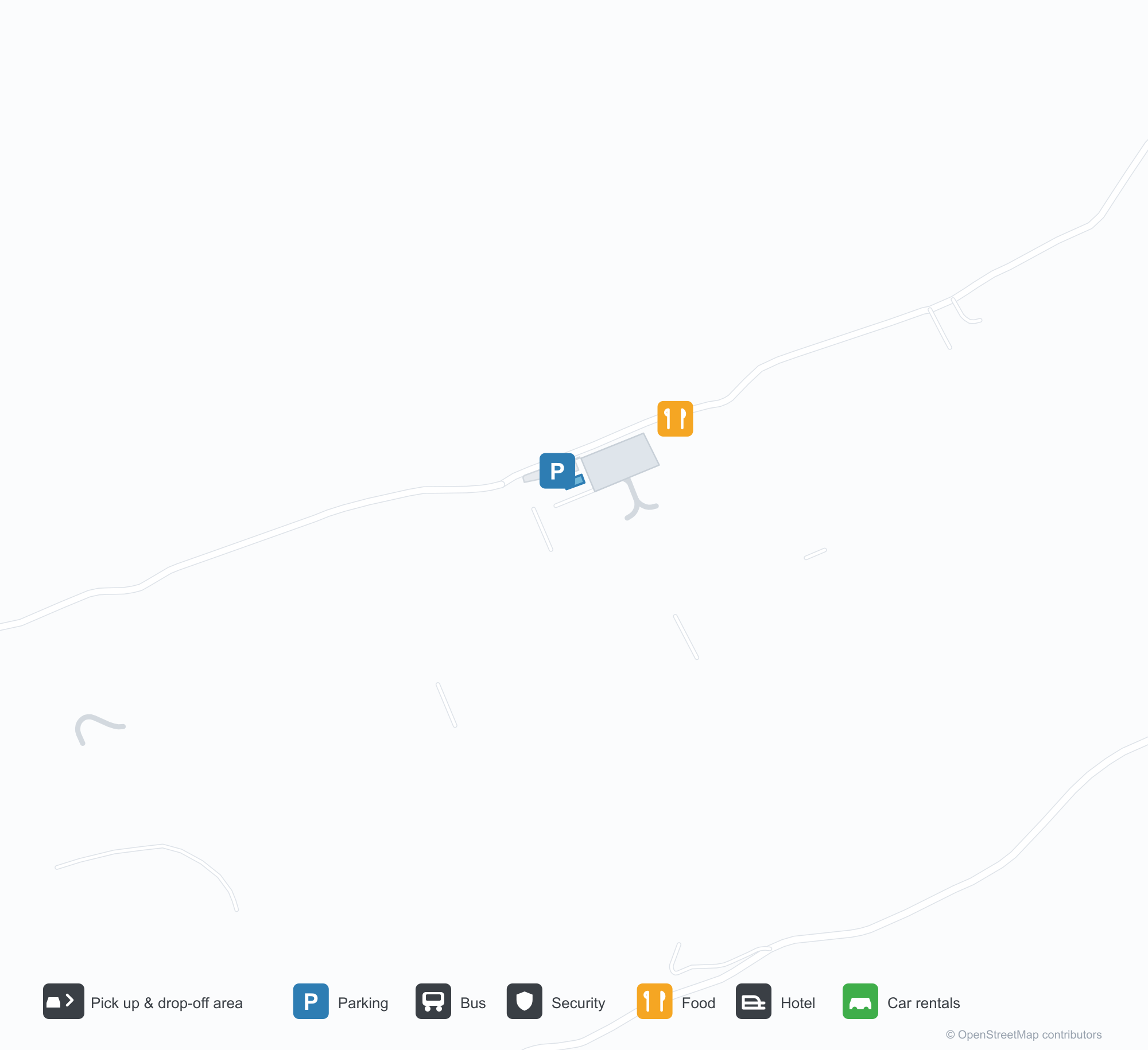
공항 지도 다운로드다운로드
공항 실제 사진공항 사진
다음은 이 공항의 실제 사진으로, 모두 공개된 인터넷 출처에서 가져왔으며 사진마다 출처를 표시했습니다. 저작권은 원저작자에게 있습니다. 사진을 클릭하면 크게 볼 수 있고, 출처를 클릭하면 원본 페이지가 열립니다.
우아누코 공항 활주로 옆 주황색 풍향계 — 파란 울타리 너머로 언덕 도시가 솟아 있는 모습(photo from CORPAC's official airport data sheet, September 2023).
출발 라운지 — 활주로 쪽으로 이어진 통유리, 줄지어 기다리는 승객들(photo from CORPAC's official airport data sheet).
Alferez Fap David Figueroa Fernandini Airport 노선도 · 직항 목적지노선도
직항 목적지 1개: 노선도, 운항 항공사, 비행 거리.
공항 정보 및 상세공항 상세
Alferez Fap David Figueroa Fernandini Airport 인터랙티브 지도 — 공항 위치인터랙티브 지도
다른 지도 서비스에서 이 공항 보기:
Huánuco Airport (HUU): One Route at 1,850 m공항 안내
Both photos of Huánuco Airport (IATA HUU, ICAO SPNC) are quiet. One shows an orange windsock beside the runway, with the hillside city rising beyond a blue fence. The other looks out from the departure lounge: floor-to-ceiling glass onto the airfield, passengers waiting in rows. No jet bridges, no crowded apron — the scale is clear from the frame.
The field serves Huánuco, Peru, at an elevation of about 1,850 m, with a single runway 2,500 m long and 30 m wide (07/25). The 2014 route snapshot records one non-stop destination: Lima, 258 km away.
Airport photos
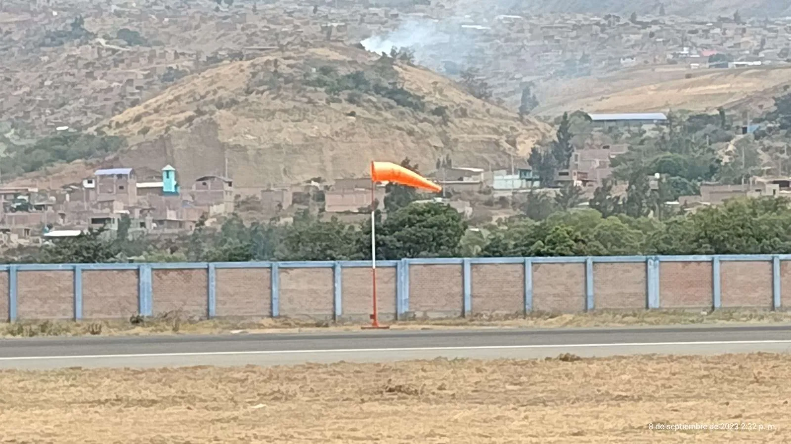
The orange windsock beside Huánuco's runway — the hillside city rising beyond the blue fence (photo from CORPAC's official airport data sheet, September 2023).
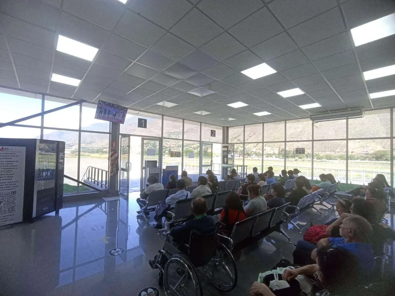
The departure lounge — floor-to-ceiling glazing onto the airfield, passengers waiting in rows (photo from CORPAC's official airport data sheet).
The photos come from public web sources and remain the copyright of their photographers; full credits and source links sit in the photo gallery on this page.
Airport at a glance
| Item | Detail |
|---|---|
| IATA / ICAO | HUU / SPNC |
| Role | Medium-sized airport in central Peru |
| Elevation | about 1,850 m |
| Coordinates | -9.8788, -76.2048 |
| Runway | 1: 07/25, 2,500 m × 30 m |
| Non-stop destinations | 1 (Lima; 2014 snapshot) |
What one route means
HUU's 2014 table has a single entry: Lima (LIM), 258 km away. The carrier column lists Star Peru (2I) and AeroWorld — regional operators whose frequencies are usually thin, with narrowbody or turboprop equipment. For passengers, the meaning is simple: this is Huánuco's only air link to Peru's national network and, beyond it, to international flights.
| Distance band | Destinations |
|---|---|
| Under 1,000 km | 1 |
| Over 1,000 km | 0 |
A single-route airport also has few fallbacks. If the Lima flight is cancelled or full, the alternatives are usually a long road journey or a first leg to a larger city. The one-route record is on the Huánuco route map.
Getting there and navigating
- Coordinates: -9.8788, -76.2048
- Open in a map: Google Maps | Amap | Baidu Maps
In the comparison table, Leticia in Colombia (LET) is about 937 km away with 1 destination, and Pucallpa (PSO) about 1,260 km away with 2. Neither is a practical substitute for Huánuco; Lima remains the real connection.
The location map on this page shows the field against Huánuco and the surrounding mountain roads. This page does not cover terminal connections or local transport; confirm them with the airport or airline.
Before you fly
- At about 1,850 m, altitude is not extreme but can still affect newcomers. Do not overfill your first day.
- A single-route airport is fragile: weather or an airline change can cancel the day's flight. Keep in touch with the airline and have a road alternative in mind.
- The 2014 snapshot records only one route. Check Star Peru or other regional operators for today's schedule rather than treating this page as a live timetable.
About the data
Runways, elevation and coordinates come from OurAirports open data. Routes and carriers come from the June 2014 OpenFlights snapshot and include codeshares and interline services; they indicate network shape and scale, not current schedules. Photos are from CORPAC's official airport data sheet and remain the copyright of their photographers.
History
The Huánuco region's principal airport is run by the civil government, with LC Busre operating a single daily service to Lima (and connections beyond) alongside plentiful charter and private traffic.
Source: Alferez Fap D F Fernandini Airport.