
Aeroparque Jorge Newbery
 부에노스아이레스 · 아르헨티나· Aeroparque Jorge Newbery
Aeroparque Jorge Newbery(IATA: AEP, ICAO: SABE)은 아르헨티나 부에노스아이레스에 위치한 대형 공항입니다.
Aeroparque Jorge Newbery is a large airport, at an elevation of about 18 ft, with scheduled passenger service. This page gathers its location map, airport codes and travel information.
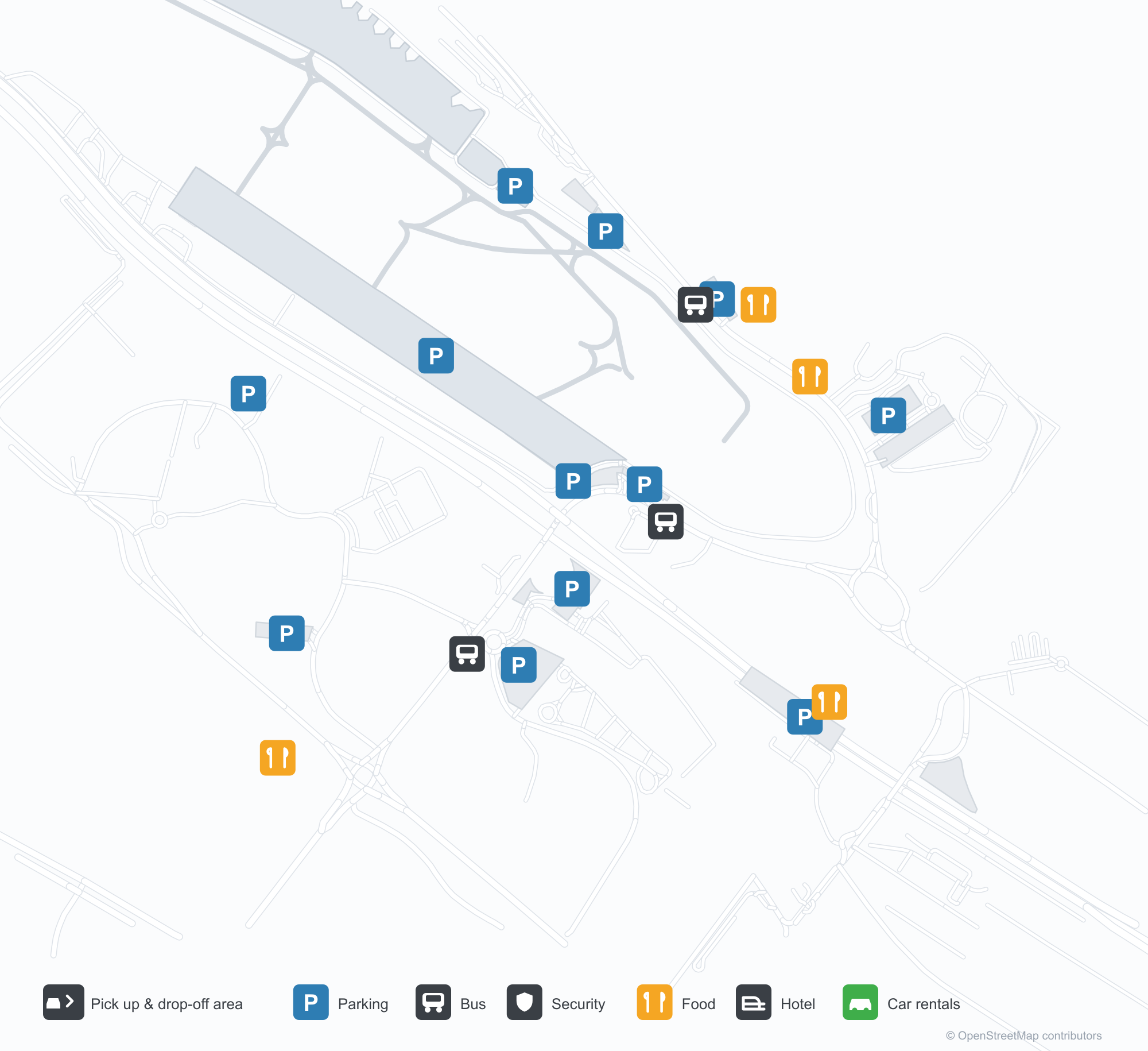
공항 지도 다운로드다운로드
공항 실제 사진공항 사진
다음은 이 공항의 실제 사진으로, 모두 공개된 인터넷 출처에서 가져왔으며 사진마다 출처를 표시했습니다. 저작권은 원저작자에게 있습니다. 사진을 클릭하면 크게 볼 수 있고, 출처를 클릭하면 원본 페이지가 열립니다.
체크인 홀의 LATAM 셀프서비스 키오스크 — 체크인 중인 여행객과 나란히 놓인 노란 기계들.
꼬리 뒤로 부에노스아이레스 스카이라인이 솟은 가운데 지상 활주 중인 Austral 여객기.
도시의 고층 건물과 나무를 배경으로 한 Aerolíneas Argentinas 보잉 737.
Aeroparque Jorge Newbery 노선도 · 직항 목적지노선도
직항 목적지 43개: 노선도, 운항 항공사, 비행 거리.
공항 정보 및 상세공항 상세
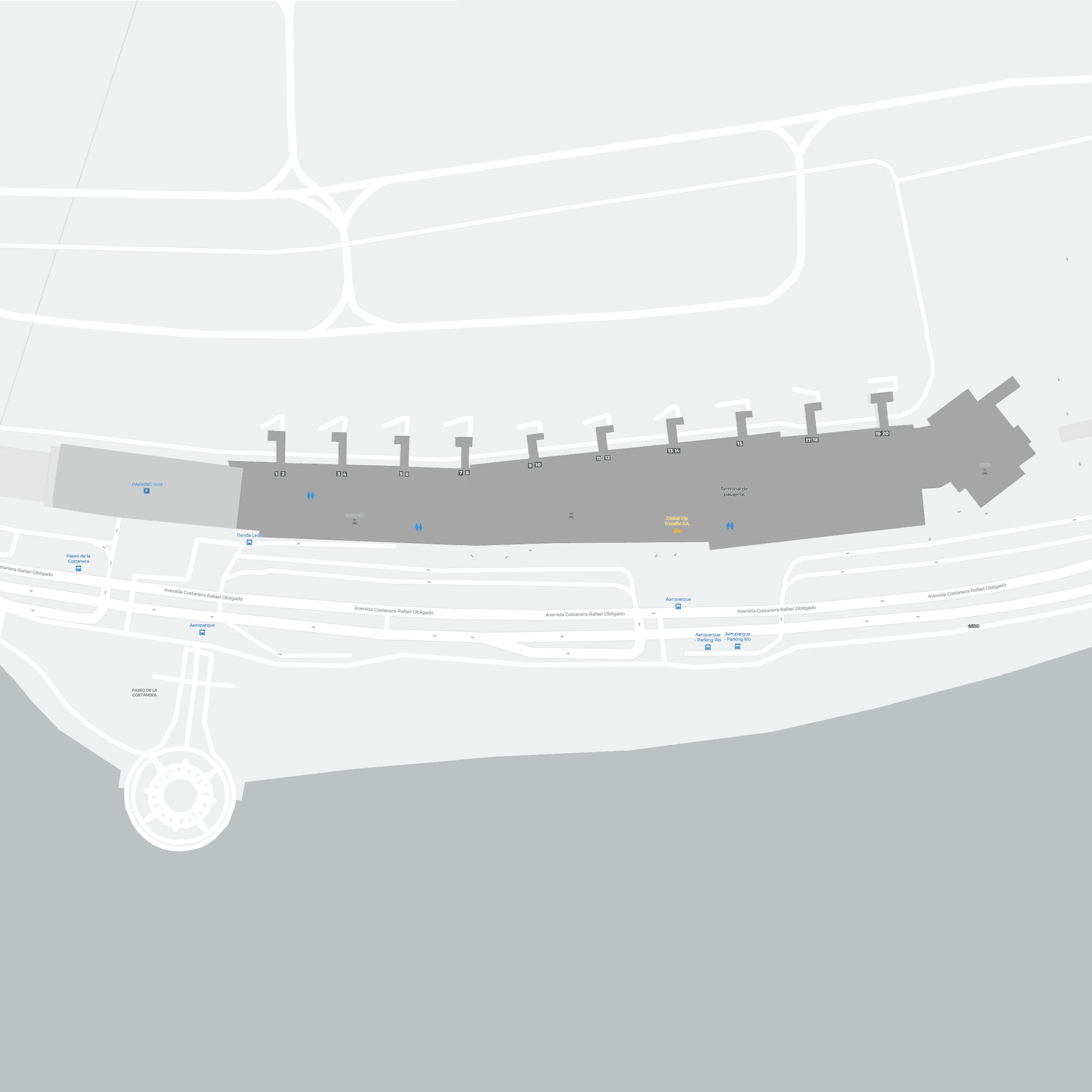
Aeroparque Jorge Newbery 인터랙티브 지도 — 공항 위치인터랙티브 지도
다른 지도 서비스에서 이 공항 보기:
Buenos Aires Aeroparque (AEP): The City Airport공항 안내
The most revealing photo of Aeroparque Jorge Newbery (IATA AEP, ICAO SABE) is not the terminal frontage but the skyline behind the aircraft: an Austral jet taxis while an Aerolíneas Argentinas 737 sits on the apron, with Buenos Aires high-rises and trees filling the background. This is a city airport pressed against the urban fabric, not a new field tens of kilometres out — which helps explain its single 2,350 m runway and its domestic-heavy network.
The airport serves Buenos Aires, Argentina, at an elevation of only about 5 m. The 2014 route snapshot records 43 non-stop destinations: 34 in Argentina and 9 abroad.
Airport photos
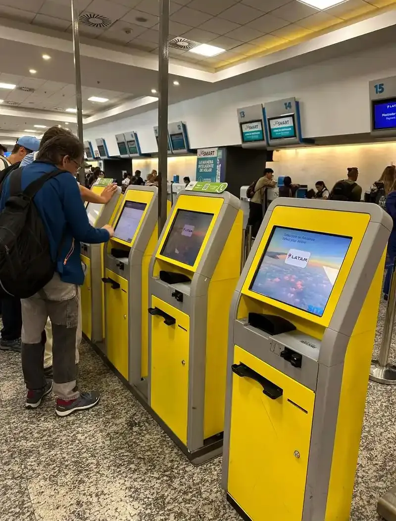
LATAM self-service kiosks in the check-in hall — a row of yellow machines with travellers checking in.

An Austral airliner taxiing with the Buenos Aires skyline rising behind its tail.

An Aerolíneas Argentinas Boeing 737 with city towers and trees behind it.
The photos come from public web sources and remain the copyright of their photographers; full credits and source links sit in the photo gallery on this page.
Airport at a glance
| Item | Detail |
|---|---|
| IATA / ICAO | AEP / SABE |
| Role | Large airport and Buenos Aires's city airport |
| Elevation | about 5 m |
| Coordinates | -34.5594, -58.4155 |
| Runway | 1: 13/31, 2,350 m |
| Non-stop destinations | 43 (34 domestic, 9 international; 2014 snapshot) |
| Official site | aeropuertosargentina.com/es/AEP |
Network shape: 34 domestic, 9 international, none beyond 2,400 km
Divide the 43 routes by distance and the split is stark: 22 within 1,000 km, 21 between 1,000 and 3,000 km, and none beyond 3,000 km. The short layer is Montevideo (221 km), Rosario (286 km) and Punta del Este (305 km). The far end is Argentine Patagonia — Ushuaia (2,381 km), Río Gallegos (2,258 km) and Río Grande (2,087 km). This is a domestic-plus-neighbours map, not a transcontinental one.
| Distance band | Destinations |
|---|---|
| Under 1,000 km | 22 |
| 1,000–3,000 km | 21 |
| Over 3,000 km | 0 |
Aerolíneas Argentinas appears on 42 of the 43 routes, followed by LAN Airlines (13), TRIP (4) and BQB (2). The carrier column includes codeshares, so the figures describe network concentration. The full list is on the Buenos Aires route map.
Getting there and navigating
- Coordinates: -34.5594, -58.4155
- Official site: aeropuertosargentina.com/es/AEP
- Open in a map: Google Maps | Amap | Baidu Maps
For a transcontinental flight, check the airport code carefully: Buenos Aires also has Ezeiza (EZE), and every one of AEP's 43 destinations in this snapshot is within 2,400 km. The nearest large-airport comparison is Córdoba (COR), about 650 km away with 11 destinations.
The location map on this page shows the field against Buenos Aires and the road network; the skyline behind the aircraft in the photos makes the proximity obvious. This page does not cover terminal connections or local transport; confirm them with the airport or airline.
Before you fly
- Allow 90–120 minutes for a domestic departure. At a single-runway airport, delays can cascade, so evening flights deserve extra buffer.
- The 43 destinations are a 2014 snapshot; Argentine domestic networks and carriers have changed since. Check current schedules.
- If an itinerary involves both AEP and EZE, remember they sit on different sides of the city — they are not a short walk or a quick same-airport transfer.
About the data
Runways, elevation and coordinates come from OurAirports open data. Routes and carriers come from the June 2014 OpenFlights snapshot and include codeshares and interline services; they indicate network shape and scale, not current schedules. Photos are from public web sources and remain the copyright of their photographers.
History
Named after Argentine aviator Jorge Newbery, the airport sits in Palermo about 2 km from the centre of Buenos Aires and is run by Aeropuertos Argentina 2000. Long domestic-only plus Uruguay, it added Brazil, Chile and Paraguay flights in March 2010; its military apron is where the country's leaders board, and a major runway rebuild closed it for weeks in late 2010.
Source: Aeroparque Jorge Newbery Airport.