
Aalborg Airport
 Aalborg · 덴마크· Aalborg Airport
Aalborg Airport(IATA: AAL, ICAO: EKYT)은 덴마크 Aalborg에 위치한 대형 공항입니다.
Aalborg Airport is a large airport, at an elevation of about 10 ft, with scheduled passenger service. This page gathers its location map, airport codes and travel information.
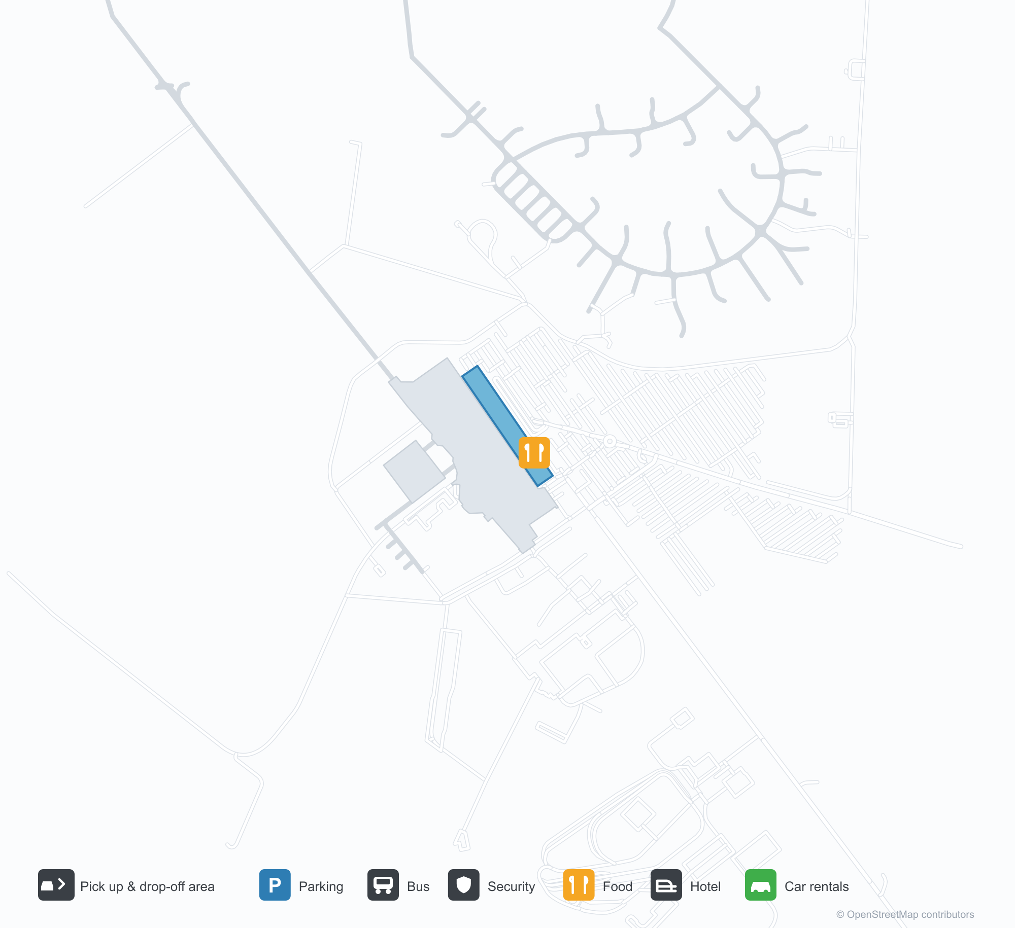
공항 지도 다운로드다운로드
공항 실제 사진공항 사진
다음은 이 공항의 실제 사진으로, 모두 공개된 인터넷 출처에서 가져왔으며 사진마다 출처를 표시했습니다. 저작권은 원저작자에게 있습니다. 사진을 클릭하면 크게 볼 수 있고, 출처를 클릭하면 원본 페이지가 열립니다.
올보르 공항 터미널의 정면 — 한 줄의 기둥이 받치는 낮은 캐노피, 그 뒤로 유리로 된 출입구.
계류장에서의 탑승: Atlantic Airways 기체로 계단을 오르는 승객들과 곁에 서 있는 지상 직원.
Aalborg Airport 노선도 · 직항 목적지노선도
직항 목적지 13개: 노선도, 운항 항공사, 비행 거리.
공항 정보 및 상세공항 상세
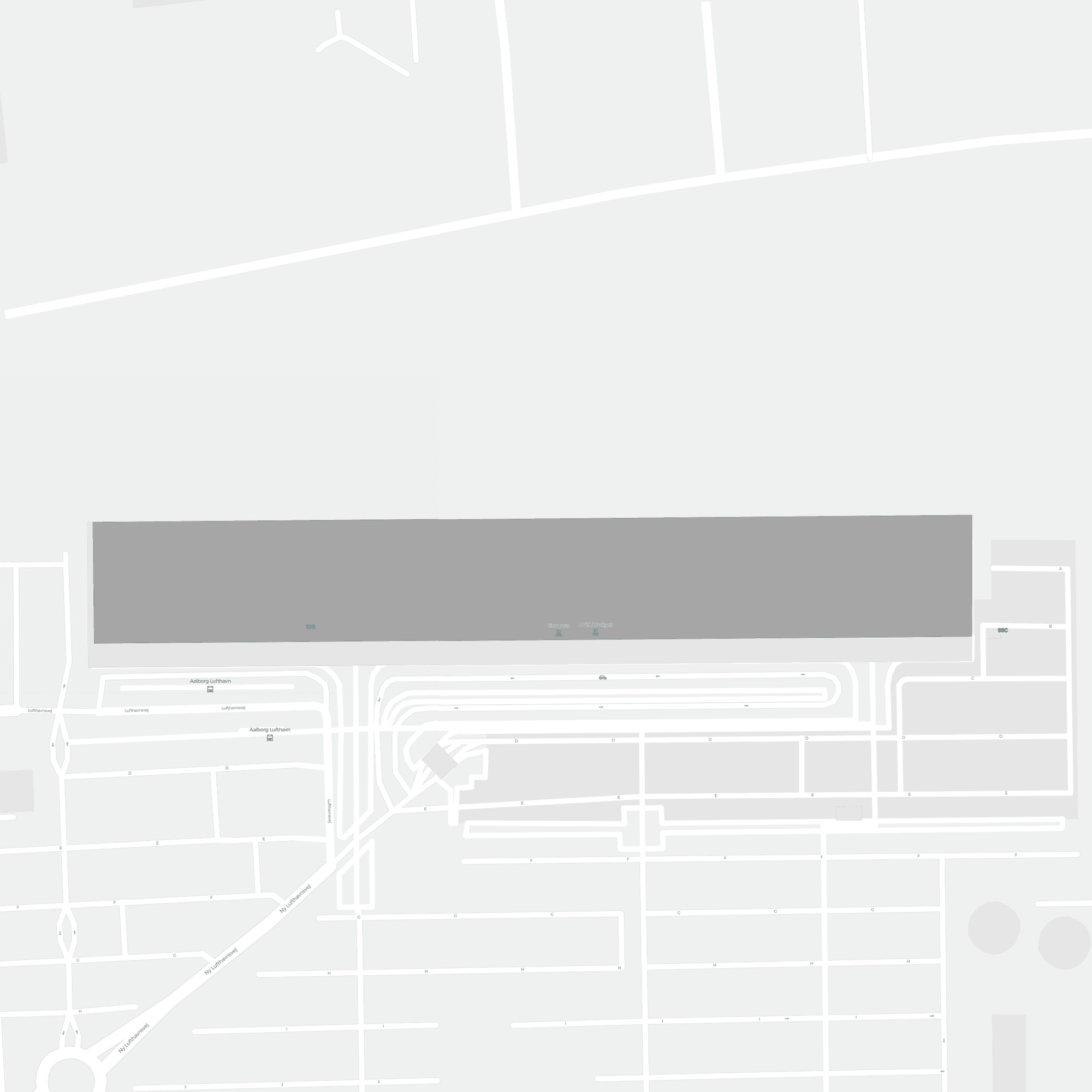
Aalborg Airport 인터랙티브 지도 — 공항 위치인터랙티브 지도
다른 지도 서비스에서 이 공항 보기:
Aalborg Airport (AAL): A Short-Haul Gateway for North Jutland공항 안내
The front of Aalborg Airport (IATA AAL, ICAO EKYT) is deliberately understated: a low canopy carried on a row of columns, with the entrance tucked behind a glazed façade. It does not look like an airport with international routes. The second photo is more telling — passengers walk up airstairs to board while ground crew stand by, with no jet bridge in sight. At a regional airport of this size, that compact flow is the point: kerb to gate can take only a few minutes.
The field serves Aalborg, Denmark, at an elevation of about 3 m, with two runways just over 2,600 m. The 2014 route snapshot records 13 non-stop destinations: only 3 in Denmark, the other 10 abroad. That makes it a short-haul international gateway rather than a purely domestic feeder.
Airport photos

The front of Aalborg Airport's terminal — a low canopy carried on a row of columns, with the glazed entrance behind it.
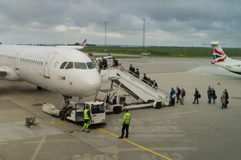
Boarding on the apron: passengers climbing the stairs to an Atlantic Airways jet while ground crew stand by.
The photos come from public web sources and remain the copyright of their photographers; full credits and source links sit in the photo gallery on this page.
Airport at a glance
| Item | Detail |
|---|---|
| IATA / ICAO | AAL / EKYT |
| Role | Large airport by this site's classification; a Nordic regional gateway |
| Elevation | about 3 m |
| Coordinates | 57.0948, 9.8499 |
| Runways | 2: 08L/26R at 2,654 m, 08R/26L at 2,549 m |
| Non-stop destinations | 13 (3 domestic, 10 international; 2014 snapshot) |
| Official site | aal.dk |
Network shape: more international than domestic
By distance: 8 destinations within 1,000 km, 5 between 1,000 and 3,000 km, and none beyond 3,000 km. The near layer is Aarhus (100 km), Billund (157 km) and Copenhagen (238 km). The far layer reaches Málaga (2,507 km), Alicante (2,226 km) and Istanbul (2,215 km). Spain and Turkey stand out among the ten international routes — the familiar pattern of a Nordic regional airport whose international traffic leans on leisure demand.
| Distance band | Destinations |
|---|---|
| Under 1,000 km | 8 |
| 1,000–3,000 km | 5 |
| Over 3,000 km | 0 |
Norwegian Air Shuttle appears on 5 routes and Scandinavian Airlines on 4. The carrier column includes codeshares, so the figures describe concentration. The full list is on the Aalborg route map.
Getting there and navigating
- Coordinates: 57.0948, 9.8499
- Official site: aal.dk
- Open in a map: Google Maps | Amap | Baidu Maps
If the destination needs long-haul flights, Copenhagen (CPH) is the fuller alternative: about 238 km away with 119 destinations in the snapshot. Aarhus (AAR) is only 100 km away but has 8 destinations, so it is better for short-hop comparisons.
The location map on this page shows the field against Aalborg and the road network. This page does not cover terminal connections or local transport; confirm them with the airport or airline.
Before you fly
- The terminal is compact, so 90–120 minutes before departure is usually enough; add a little for document checks on an international flight.
- The 13 destinations are a 2014 snapshot. Nordic regional routes are highly seasonal, so check the airline's current schedule.
- Boarding by airstairs means some flights use remote stands. With bulky hand luggage or reduced mobility, allow a little more time than for a jet-bridge departure.
About the data
Runways, elevation and coordinates come from OurAirports open data. Routes and carriers come from the June 2014 OpenFlights snapshot and include codeshares and interline services; they indicate network shape and scale, not current schedules. Photos are from public web sources and remain the copyright of their photographers.