
Anaa Airport
 Anaa · 프랑스령 폴리네시아· Anaa Airport
Anaa Airport(IATA: AAA, ICAO: NTGA)은 프랑스령 폴리네시아 Anaa에 위치한 중형 공항입니다.
Anaa Airport is a medium-sized airport, at an elevation of about 10 ft, with scheduled passenger service. This page gathers its location map, airport codes and travel information.

공항 지도 다운로드다운로드
공항 실제 사진공항 사진
다음은 이 공항의 실제 사진으로, 모두 공개된 인터넷 출처에서 가져왔으며 사진마다 출처를 표시했습니다. 저작권은 원저작자에게 있습니다. 사진을 클릭하면 크게 볼 수 있고, 출처를 클릭하면 원본 페이지가 열립니다.
국제우주정거장에서 촬영한 아나아 환초 (NASA image ISS007-E-14624, public domain) — 흰 산호초 가장자리와 청록빛 라군을 두른 좁은 환초, 공항은 주 섬 위에 자리한 모습.
공항 정보 및 상세공항 상세
Anaa Airport 인터랙티브 지도 — 공항 위치인터랙티브 지도
다른 지도 서비스에서 이 공항 보기:
Anaa Airport (AAA): An Atoll Airport Seen From Space공항 안내
The photo comes from the International Space Station: the long, narrow Anaa atoll, its white reef edge and turquoise lagoon are clearly visible, and the airport sits on the main islet in the frame. The field serves Anaa in French Polynesia at an elevation of about 3 m, with a 1,500 m runway; the 2014 snapshot records no scheduled routes.
Airport photos
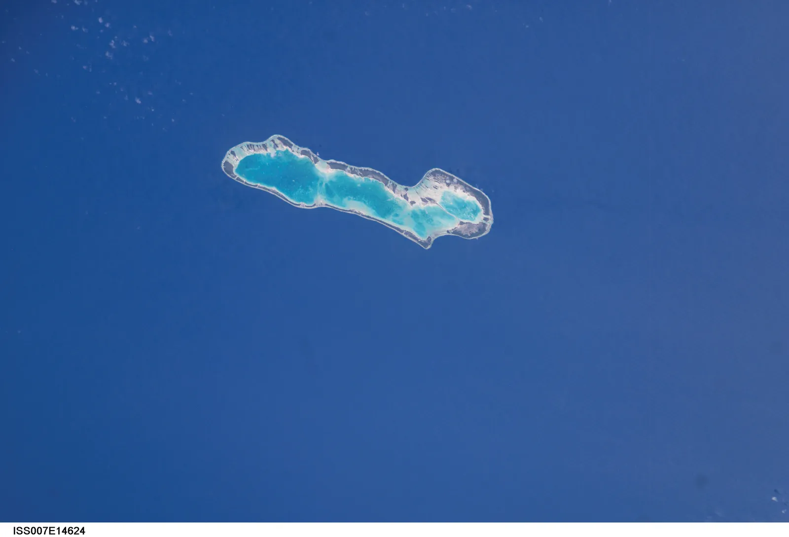
Anaa atoll photographed from the International Space Station (NASA image ISS007-E-14624, public domain) — the narrow atoll with its white reef edge and turquoise lagoon; the airport sits on the main islet.
The photos come from public web sources and remain the copyright of their photographers; full credits and source links sit in the photo gallery on this page.
Airport at a glance
| Item | Detail |
|---|---|
| IATA / ICAO | AAA / NTGA |
| Role | Medium-sized airport |
| Elevation | about 3 m |
| Coordinates | -17.3526, -145.5100 |
| Runways | 1, 1,500 m |
| Non-stop destinations | 0 in the 2014 snapshot |
Runways
| Runway | Length | Width | Surface |
|---|---|---|---|
| 14/32 | 1,500 m | 18 m | asphalt |
1 runway, the longest 1,500 m.
Non-stop routes
The route dataset carries no scheduled non-stop services for this airport. Regional schedules change often — confirm with the airline or airport before booking.
Nearby airports to compare
If the fares are close, these are the nearest airports of the same class (medium-sized airport) — straight-line distance, with their own non-stop counts from the same dataset:
| Airport | Distance | Non-stop destinations |
|---|---|---|
| Arutua Airport (AXR) | ~262 km | 1 |
| Ahe Airport (AHE) | ~335 km | 2 |
Before you fly
- Atoll schedules are usually run by regional carriers; an empty 2014 snapshot does not mean no flights today, so check the airline directly.
- With a 1,500 m runway, aircraft and payloads are limited; baggage and supplies follow small-aircraft rules.
About the data
Runways, elevation and coordinates come from OurAirports open data. Routes and carriers come from the June 2014 OpenFlights snapshot and include codeshares and interline services; they indicate network shape and scale, not current schedules.