
Axum Airport
 Axum · エチオピア· Axum Airport
Axum Airport(IATA: AXU、ICAO: HAAX)はAxum、エチオピアにある中型空港です。
Axum Airport is a medium-sized airport, at an elevation of about 6,959 ft, with scheduled passenger service. This page gathers its location map, airport codes and travel information.
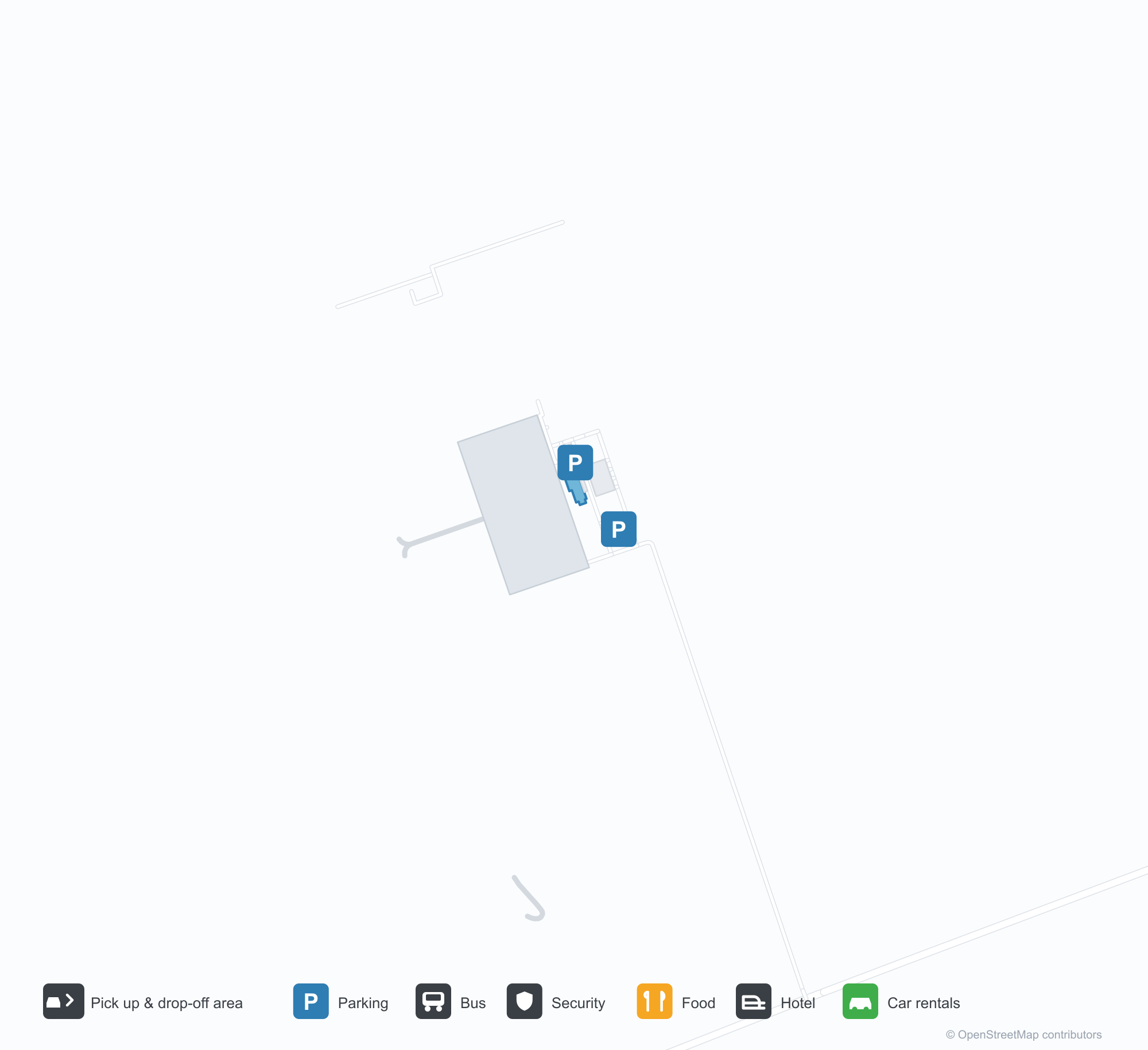
空港マップをダウンロードダウンロード
空港写真空港写真
この空港の実際の写真です。いずれも公開ウェブページを出典として明記しており、著作権は撮影者に帰属します。写真をクリックすると拡大表示され、クレジットをクリックすると元のページが開きます。
アクスム空港ターミナルの名称板——アムハラ語と「AXUM YOHANNES IV AIRPORT」が並び、上にはエチオピア航空のマーク(2024年の再開後に撮影)。
青空の下、石張りの管制塔がアーチ型ターミナルのそばに立ち、旅行者がスーツケースを引いて花壇の前を通る。
空から見ると、青い屋根のターミナルと広いコンクリートエプロンがモザイク状の農地の中にあり、画面下部を滑走路が横切る。
明るい日差しの中、エチオピア航空塗装の双発ターボプロップ旅客機がエプロンに停まり、客室扉を開けて搭乗階段を添えている。
遅い日差しが淡い色のターミナルを斜めに照らし、看板には英語の空港名、下には空のベンチ、左には梯子が立てかけられている。
乗客がアムハラ語と英語のアーチ型門の下、コンクリートの小道をターミナル入口へ上る。両側には緑の芝生。
日没、小さな飛行場が金色に染まり、白い塔と低いターミナルのそばに双発ターボプロップ機が停まり、その先に森の丘陵と草地。
Axum Airportの路線マップ — 直行便の目的地路線マップ
直行目的地1か所。地図、就航航空会社、距離を掲載しています。
Axum Airport発着便 — 出発と到着フライトボード
便名4件、1社の航空会社、1か所の目的地を出発・到着別に掲載しています。コードシェア便も含みます。
| 便 | 航空会社 | 目的地 | 国・地域 |
|---|---|---|---|
| ET129 | Ethiopian Airlines | Addis Ababa Bole International Airport | エチオピア |
| ET265 | Ethiopian Airlines | Addis Ababa Bole International Airport | エチオピア |
便名と路線はaviability.comのフライトインデックス(スナップショット:2026年10月26日)に基づきます。コードシェア便を含み、出発時刻は掲載していません。出典:aviability.com ↗
空港情報と詳細空港の詳細
インタラクティブマップ — Axum Airportの位置インタラクティブマップ
他の地図サービスでこの空港を見る:
Axum Airport (AXU): A Single Route on the Ethiopian Highlands空港ガイド
The terminal sign at Axum airport is lettered "AXUM YOHANNES IV AIRPORT" in Amharic and English, with the Ethiopian Airlines mark above it. The field serves Axum in Ethiopia at an elevation of about 2,121 m, with a 2,400 m runway; the 2014 snapshot records one domestic destination, Addis Ababa at 575 km.
Airport photos
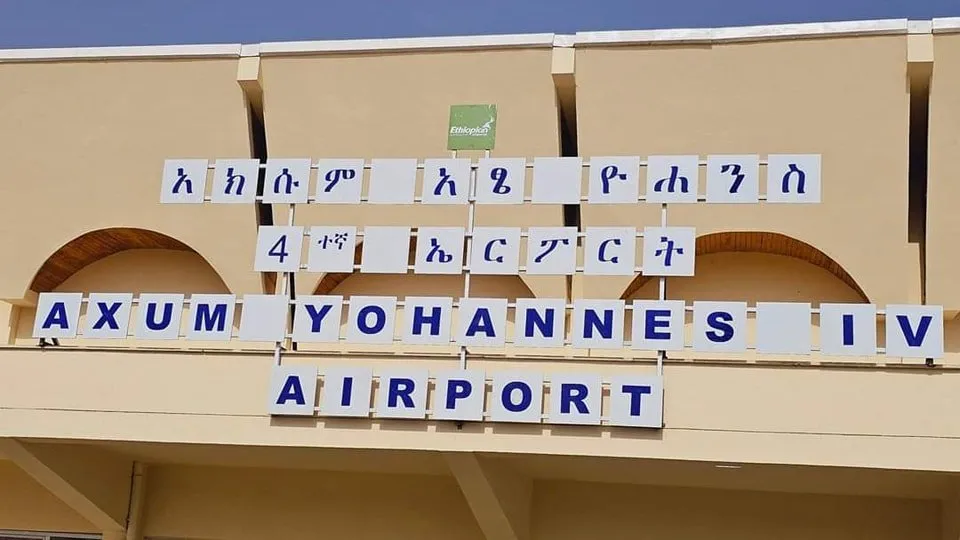
The name board on Axum airport's terminal — Amharic alongside 'AXUM YOHANNES IV AIRPORT', the Ethiopian Airlines mark above (photographed after the 2024 reopening).
The photos come from public web sources and remain the copyright of their photographers; full credits and source links sit in the photo gallery on this page.
Airport at a glance
| Item | Detail |
|---|---|
| IATA / ICAO | AXU / HAAX |
| Role | Medium-sized airport |
| Elevation | about 2,121 m |
| Coordinates | 14.1468, 38.7728 |
| Runways | 1, 2,400 m |
| Non-stop destinations | 1 (Addis Ababa; 2014 snapshot) |
Runways
| Runway | Length | Width | Surface |
|---|---|---|---|
| 16/34 | 2,400 m | 45 m | asphalt |
1 runway, the longest 2,400 m.
Non-stop routes
1 non-stop destinations, nearest first (OpenFlights route snapshot compiled in 2014 — confirm with the airline or airport):
| Destination | Distance | Carriers |
|---|---|---|
| Addis Ababa Bole International Airport (ADD) | ~575 km | Ethiopian Airlines |
The carrier column comes from the same snapshot and includes codeshare and interline services; treat it as an indication of how busy the route is and check the airline for who actually flies it.
Nearby airports to compare
If the fares are close, these are the nearest airports of the same class (medium-sized airport) — straight-line distance, with their own non-stop counts from the same dataset:
| Airport | Distance | Non-stop destinations |
|---|---|---|
| Asmara International Airport (ASM) | ~128 km | 7 |
| Assab International Airport (ASA) | ~435 km | — |
Before you fly
- At about 2,121 m, payload and take-off performance are affected; confirm baggage limits with the airline.
- With only Addis Ababa on the map, international trips connect through Addis Ababa.
About the data
Runways, elevation and coordinates come from OurAirports open data. Routes and carriers come from the June 2014 OpenFlights snapshot and include codeshares and interline services; they indicate network shape and scale, not current schedules.
History
Five and a half kilometres east of the city, the field is formally named after Emperor Yohannes IV of Ethiopia (r. 1872–1889); both city and airport also appear transliterated as Aksum.
Source: Axum Airport.
読者コメントディスカッション
質問、旅行記、訂正など、お気軽にお寄せください。コメントは公開されます。
読み込み中…
コメントを読み込み中…