
Asmara International Airport
 Asmara · Eritrea· Asmara International Airport
Asmara International Airport (IATA: ASM, ICAO HHAS) adalah bandara sedang yang melayani Asmara, Eritrea.
Asmara International Airport is a medium-sized airport, at an elevation of about 7,661 ft, with scheduled passenger service. This page gathers its location map, airport codes and travel information.
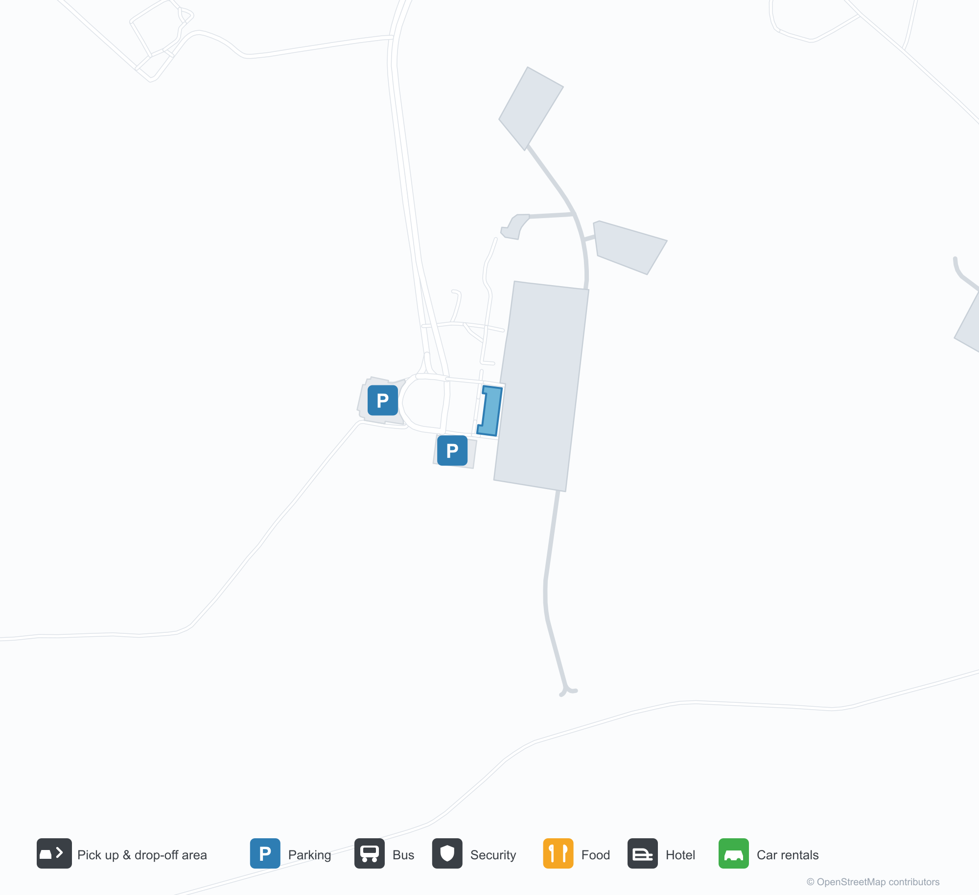
Unduh Peta BandaraUnduhan
Foto bandaraFoto Bandara
Foto asli bandara ini, masing-masing dikreditkan ke halaman web publik tempat foto ditemukan; hak cipta tetap milik fotografer aslinya. Klik foto untuk memperbesar, atau baris kredit untuk membuka halaman sumbernya.
Citra satelit: landasan pacu Asmara terletak di dataran tinggi, dengan terminal dan apron di sampingnya serta kota dan pegunungan di sekitarnya.
Peta rute Asmara International Airport — tujuan langsungPeta Rute
7 tujuan langsung: peta, maskapai yang beroperasi, dan jarak.
Penerbangan Asmara International Airport — keberangkatan & kedatanganPapan Penerbangan
27 nomor penerbangan dari 10 maskapai dan 7 tujuan, dipisahkan menurut arah. Nomor codeshare disertakan.
| Penerbangan | Maskapai | Tujuan | Negara/wilayah |
|---|---|---|---|
| 3T215 | Tarco Aviation | Khartoum (KRT) Khartoum International Airport | Sudan |
| 3T215 | Tarco Aviation | Port Sudan (PZU) Port Sudan New International Airport | Sudan |
| EK2011 | Emirates | Bandara Internasional Dubai | Uni Emirat Arab |
| EY734 | Etihad Airways | Zayed International Airport | Uni Emirat Arab |
| FZ646 | Flydubai | Bandara Internasional Dubai | Uni Emirat Arab |
| FZ8500 | Flydubai | Bandara Internasional Dubai | Uni Emirat Arab |
| GF5905 | Gulf Air | King Abdulaziz International Airport | Arab Saudi |
| J4631 | Badr Airlines | Khartoum (KRT) Khartoum International Airport | Sudan |
| J4631 | Badr Airlines | Port Sudan (PZU) Port Sudan New International Airport | Sudan |
| MS834 | Egyptair | Bandara Internasional Kairo | Mesir |
| Q47515 | Euroairlines | Port Sudan (PZU) Port Sudan New International Airport | Sudan |
| TK577 | Turkish Airlines | Bandara Istanbul | Turki |
| XY694 | flynas | King Abdulaziz International Airport | Arab Saudi |
Nomor penerbangan dan rute dari indeks penerbangan aviability.com (cuplikan 26 Oktober 2026); nomor codeshare disertakan dan waktu keberangkatan tidak ditampilkan. Sumber: aviability.com ↗
Informasi & detail bandaraDetail Bandara
Peta interaktif — lokasi Asmara International AirportPeta Interaktif
Lihat bandara ini di layanan peta lain:
Asmara Airport (ASM): Seven International Routes on the HighlandsPanduan Bandara
On satellite imagery, Asmara's runway sits on the highland plateau, with the terminal and apron alongside it and city and ridges around. The airport serves Asmara, Eritrea, at an elevation of about 2,335 m, with a 3,000 m runway; the 2014 snapshot records 7 destinations, all international, from Sana'a at 570 km to Nairobi at 1,860 km.
Satellite view
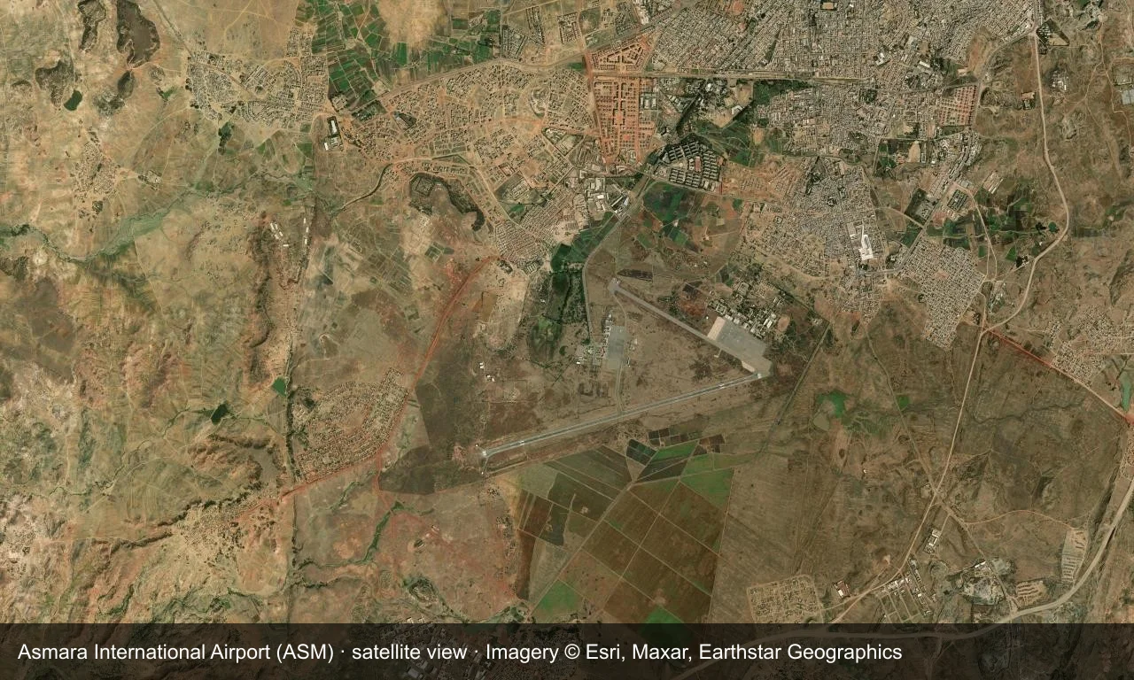
Satellite view: Asmara's runway sits on the highland plateau, with the terminal and apron alongside it and city and ridges around.
The satellite image comes from Esri World Imagery (© Esri, Maxar, Earthstar Geographics); the field and attribution are labelled in the image. This is a satellite view, not a ground-level photograph.
Airport at a glance
| Item | Detail |
|---|---|
| IATA / ICAO | ASM / HHAS |
| Role | Medium-sized airport |
| Elevation | about 2,335 m |
| Coordinates | 15.2919, 38.9107 |
| Runways | 2, longest 3,000 m |
| Non-stop destinations | 7 (2014 snapshot, all international) |
Nearby airports
If nothing fits, these nearby fields are worth comparing:
| Airport | Distance |
|---|---|
| Axum Airport (AXU) | 128 km |
| Assab International Airport (ASA) | 472 km |
| Abha International Airport (AHB) | 516 km |
Before you fly
- At about 2,335 m, high elevation limits take-off weight; confirm baggage limits with the airline.
- The seven destinations are a 2014 snapshot; check official sources for Eritrean flights and entry rules.
About the data
Runways, elevation and coordinates come from OurAirports open data. Routes and carriers come from the June 2014 OpenFlights snapshot and include codeshares and interline services; they indicate network shape and scale, not current schedules.
Komentar pembacaDiskusi
Pertanyaan, laporan perjalanan, dan koreksi sangat kami harapkan. Komentar bersifat publik.
Memuat…
Memuat komentar…